Photos • Location
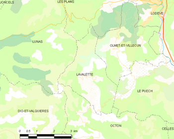
Map


Lavalette | |
|---|---|
 Lavalette  Lavalette | |
| Coordinates: 43°41′29″N 3°16′21″E / 43.6913°N 3.2726°E | |
| Country | France |
| Region | Occitania |
| Department | Hérault |
| Arrondissement | Lodève |
| Canton | Lodève |
| Intercommunality | Lodévois et Larzac |
| Government | |
| • Mayor (2020–2026) | Claire Van Der Horst [1] |
| Area 1 | 8.54 km2 (3.30 sq mi) |
| Population (2021)
[2] | 54 |
| • Density | 6.3/km2 (16/sq mi) |
| Time zone | UTC+01:00 ( CET) |
| • Summer ( DST) | UTC+02:00 ( CEST) |
| INSEE/Postal code |
34133 /34700 |
| Elevation | 201–685 m (659–2,247 ft) (avg. 180 m or 590 ft) |
| 1 French Land Register data, which excludes lakes, ponds, glaciers > 1 km2 (0.386 sq mi or 247 acres) and river estuaries. | |
Lavalette (French pronunciation: [lavalɛt] ; Occitan: La Valeta) is a commune in the Hérault département in the Occitanie region in southern France.

Population
| Year | Pop. | ±% |
|---|---|---|
| 1962 | 13 | — |
| 1968 | 24 | +84.6% |
| 1975 | 18 | −25.0% |
| 1982 | 40 | +122.2% |
| 1990 | 34 | −15.0% |
| 1999 | 37 | +8.8% |
| 2008 | 50 | +35.1% |
See also
References
- ^ "Répertoire national des élus: les maires" (in French). data.gouv.fr, Plateforme ouverte des données publiques françaises. 13 September 2022.
- ^ "Populations légales 2021". The National Institute of Statistics and Economic Studies. 28 December 2023.
Wikimedia Commons has media related to
Lavalette (Hérault).
| Authority control databases: National |
|---|
|
| This Hérault geographical article is a stub. You can help Wikipedia by expanding it. |