
Size of this PNG preview of this SVG file:
634 × 600 pixels. Other resolutions:
254 × 240 pixels |
508 × 480 pixels |
812 × 768 pixels |
1,083 × 1,024 pixels |
2,166 × 2,048 pixels |
2,522 × 2,385 pixels.
Original file (SVG file, nominally 2,522 × 2,385 pixels, file size: 92 KB)
| This is a file from the
Wikimedia Commons. Information from its
description page there is shown below. Commons is a freely licensed media file repository. You can help. |
Summary
| Description |
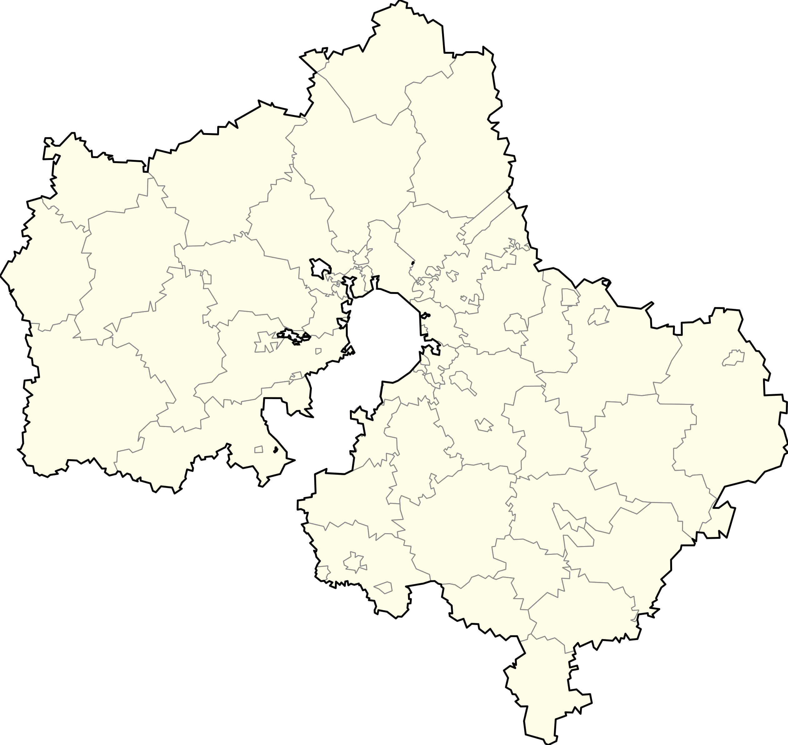
English: Russia_Moscow_oblast_locator_map with simplified boundaries
Русский: Позиционная карта Московской области с упрощенными границами |
| Date | June 24 2008 (2009-06-18) |
| Source | Russia Moscow oblast locator map.svg |
| Author | Bogomolov.PL |
| Other versions |
|

N=56.9611 S=54.2557 W=35.1435 E=40.2035
Licensing
| I, the copyright holder of this work, release this work into the
public domain. This applies worldwide. In some countries this may not be legally possible; if so: I grant anyone the right to use this work for any purpose, without any conditions, unless such conditions are required by law. |
File history
Click on a date/time to view the file as it appeared at that time.
| Date/Time | Thumbnail | Dimensions | User | Comment | |
|---|---|---|---|---|---|
| current | 16:02, 16 July 2015 |
| 2,522 × 2,385 (92 KB) | Nzeemin | Балашиха + Железнодорожный = Балашиха; городской округ Подольск поглотил Подольский район |
| 12:21, 5 October 2013 |
 | 2,522 × 2,385 (93 KB) | MUR | "Konezavod, VTB" borders made more precise. | |
| 20:57, 21 July 2013 |
 | 2,522 × 2,385 (93 KB) | MUR | Excluded Machihino village - exclave of Moscow TAO (erroneously not ecxluded 01.07.2012) | |
| 11:49, 12 August 2012 |
 | 2,522 × 2,385 (87 KB) | Nzeemin | re-created from the source | |
| 13:05, 18 June 2009 |
 | 2,522 × 2,380 (59 KB) | Bogomolov.PL | The same linework, but optimized (duplikate linework erased) | |
| 17:19, 18 May 2009 |
 | 2,522 × 2,385 (275 KB) | Obersachse | == Краткое описание == {{Information |Description={{en|1=Russia_Moscow_oblast_locator_map with simplified boundaries}} {{ru|1=Позиционная карта Московской области с упрощенными границами |
File usage
More than 100 pages use this file. The following list shows the first 100 pages that use this file only. A full list is available.
- A-135 anti-ballistic missile system
- A-35 anti-ballistic missile system
- Abramovka, Moscow Oblast
- Alexandrovka, Russia
- Alyoshino, Yegoryevsky District, Moscow Oblast
- Aprelevka
- Balashikha
- Barvikha
- Belyayevo
- Borodino (village), Mozhaysky District, Moscow Oblast
- Bronnitsy
- Bulgakovo
- Bykovo, Ramensky District, Moscow Oblast
- Chekhov, Moscow Oblast
- Chepelyovo, Moscow Oblast
- Chernogolovka
- Chernoye Airfield
- Dedovsk
- Dmitrov
- Dolgoprudny
- Domodedovo (town)
- Dubna
- Dunay radar
- Dzerzhinsky, Moscow Oblast
- Elektrostal
- Fryazino
- Golitsyno, Moscow Oblast
- Gorki Leninskiye
- Iksha
- Istra, Istrinsky District, Moscow Oblast
- Kashira
- Khimki
- Khotkovo, Moscow Oblast
- Klimovsk
- Klin, Klinsky District, Moscow Oblast
- Kolomna
- Korolyov, Moscow Oblast
- Kotelniki
- Kraskovo, Moscow Oblast
- Krasnoarmeysk, Moscow Oblast
- Krasnogorsk, Moscow Oblast
- Krasnoznamensk, Moscow Oblast
- Kratovo, Russia
- Kubinka
- Kubinka (air base)
- Kubinka Tank Museum
- Kurovskoye, Moscow Oblast
- Laryovo, Moscow Oblast
- Lesnoy, Pushkinsky District, Moscow Oblast
- Likino-Dulyovo
- Lobnya
- Lyalovo
- Lytkarino
- Lyubertsy
- Malakhovka, Moscow Oblast
- Mendeleyevo, Moscow Oblast
- Molodyozhny, Moscow Oblast
- Monino
- Moscow Domodedovo Airport
- Mozhaysk
- Mytishchi
- Naro-Fominsk
- Nazarovo
- Noginsk
- Obukhovo, Noginsky District, Moscow Oblast
- Odintsovo
- Oktyabrsky, Lyuberetsky District, Moscow Oblast
- Orekhovo-Zuyevo
- Ozherelye
- Ozyory, Moscow Oblast
- Pavlovsky Posad
- Peresvet
- Podolsk
- Protvino
- Pushchino
- Ramenskoye, Moscow Oblast
- Reutov
- Ruza, Ruzsky District, Moscow Oblast
- Senezh Lake
- Sergiyev Posad
- Serpukhov
- Shchyolkovo
- Sheremetyevo International Airport
- Solnechnogorsk
- Star City, Russia
- Stupino, Stupinsky District, Moscow Oblast
- Stupino Airfield
- Taldom
- Tomilino
- Vereya, Naro-Fominsky District, Moscow Oblast
- Vnukovo International Airport
- Volokolamsk
- Voskhod, Moscow Oblast
- Voskresensk, Moscow Oblast
- Yegoryevsk
- Yubileyny, Moscow Oblast
- Zaraysk
- Zheleznodorozhny, Moscow Oblast
- Zhukovsky, Moscow Oblast
- Zhukovsky International Airport
View more links to this file.
Global file usage
The following other wikis use this file:
- Usage on af.wikipedia.org
- Usage on am.wikipedia.org
- Usage on ast.wikipedia.org
- Usage on azb.wikipedia.org
- کورولیوو
- بوتین، مسکو اوبلاستی
- لوووایسکای، روسیه
- آودئیوو، موسکو اوبلاست
- توچکووو، روسیه
- ریازانووایسکای
- کالینینتس
- کلین، روسیه
- آباکومووو، مسکو اوبلاستی
- آبرامتسوو، مسکو اوبلاستی
- آبرامووو، مسکو اوبلاستی
- آبریوتکووو
- آبورینو، روسیه
- آبوشکووو
- آودوتیینو، مسکو اوبلاستی
- آودولووو-۱
- آودولووو-۲
- پوزیولوک آبوننتنوقو یاشیکا ۰۰۱
- روقاچوو، مسکو اوبلاستی
- Usage on bn.wikipedia.org
- Usage on ca.wikipedia.org
- Usage on ceb.wikipedia.org
- Usage on cs.wikipedia.org
- Usage on da.wikipedia.org
View more global usage of this file.