Photos • Location
This page's
infobox may require expansion, verification, or otherwise need cleanup. |
Durneva
Дурнева Dūrnev Araldary | |
|---|---|
 North-East part of the Caspian Sea | |
| Coordinates: 45°28′N 52°45′E / 45.467°N 52.750°E | |
| Country | Kazakhstan |
| Region | Mangystau Region |
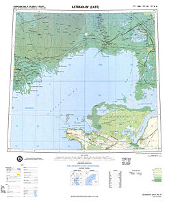
Durneva Island or Dūrnev Araldary (Russian: Остров Дурнева) is a coastal island near the entrance of the Dead Kultuk (former Komsomolets Bay) of the eastern Caspian Sea. [1] It is located north of the Buzachi Peninsula and 41.6 km north of Turum. [2]
Administratively Durneva Island belongs to the Mangystau Region of Kazakhstan.
Cartography
Durneva is probably the island which appears in early maps of the Caspian Sea as Ile des Cygnes ( Swan Island). The island was first accurately mapped only by Fedor Ivanovich Soimonov during the 1719 Caspian Expedition, which surveyed the Caspian Sea from 1719 to 1727. [3]
 |
References
- ^ Geographic data
- ^ Turum information and distances
- ^ Igor S. Zonn, Aleksey N Kosarev, Michael H. Glantz & Andrey G. Kostianoy, The Caspian Sea Encyclopedia
External links
