Photos • Location

Warmandi
Kampung Warmandi | |
|---|---|
Village | |
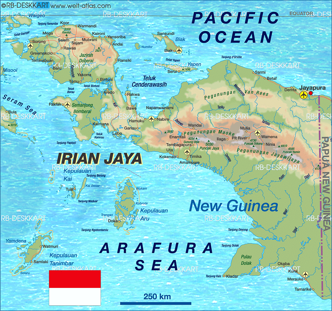
 Warmandi Location of the village in the
Bird's Head Peninsula | |
| Coordinates: 0°22′S 132°39′E / 0.367°S 132.650°E | |
| Country | |
| Province | Southwest Papua |
| Regency | Tambrauw |
| District | Abun |
| Time zone | UTC+9 ( WIT) |
Warmandi is the district capital of Abun in Tambrauw Regency in the Indonesian province of Southwest Papua. [1] The village is located on the northern coast of the Bird's Head Peninsula. [2]
- ^ Peta Administrasi Kabupaten Tamburauw [Administrative Map of the Regency of Tambrauw] (Map). 1:350,000 (in Indonesian).
- ^ Welt Atlas
|
| This Southwest Papua location article is a stub. You can help Wikipedia by expanding it. |