Photos • Location
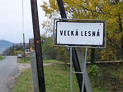
Municipality road sign


Veľká Lesná, formerly Richvald ( German: Reichwald; Goral: Ryvold; Hungarian: Kristályfalu) a village and municipality in Stará Ľubovňa District in the Prešov Region of northern Slovakia.
History
In historical records the village was first mentioned in 1338.
Before the dissolution of Austria-Hungary, the town was listed as Richvald.
Geography
The municipality lies at an altitude of 620 metres and covers an area of 24.256 km². It has a population of about 494 people.
External links
- https://web.archive.org/web/20080111223415/http://www.statistics.sk/mosmis/eng/run.html
- https://www.youtube.com/watch?v=byFDw_nqdas Video that captures Velka Lesna's relationship to East Douglas, USA
49°20′N 20°27′E / 49.333°N 20.450°E
|
| This Prešov Region geography article is a stub. You can help Wikipedia by expanding it. |