Photos • Location
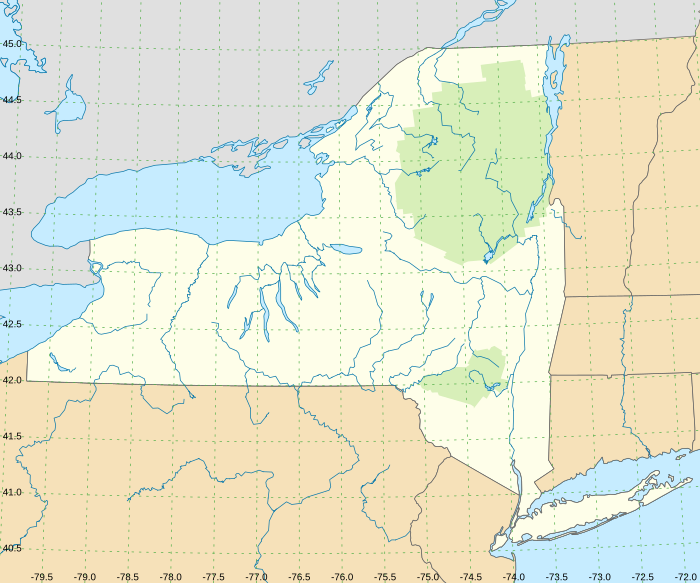


NYS rivers with grid

List of rivers of New York
- Request New York Locator Map at Map workshop from User: 420Traveler on 2021-10-18
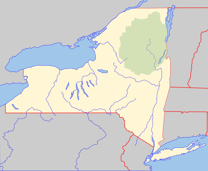
- Suggested basemap of Adirondack Park map
- Usage Module talk:Location map/data/USA New York rivers
Lambert conformal conic projection
TBD
- short Onondaga Outlet or Onondaga Lake Outlet || partial fix, no WD, no WP || || usgs
PA Rivers
- Lehigh River | 10355459 | Lehigh River (Q1298091)
- West Branch Susquehanna River | 5794060 | West Branch Susquehanna River (Q7984552)
Unadilla River
source 42°55′57″N 75°01′39″W / 42.9325°N 75.0275°W mouth 42°19′00″N 75°24′36″W / 42.3168°N 75.41°W
 mouth mouth (New York) |
Parks
- Adirondack Park - 1695394 Adirondack Park (Q357550)
- Catskill Park - 6265477 Catskill Park (Q5054038)
Validate
Test 1 - grid

NYS/VT/Quebec
DutchTreat/Projects/Maps/nys-rivers (USA New York rivers)
Test 2 - original

NYS/VT/Quebec
DutchTreat/Projects/Maps/nys-rivers (New York Adirondack Park)
Test 3 Grid - Lat
-80
-79
-78
-77
-76
-75
-74
-73
-80
-79
-78
-77
DutchTreat/Projects/Maps/nys-rivers (USA New York rivers)

Test 4 Grid - Long
42.5
42
41
43
44
45
45
44
43
42
41
DutchTreat/Projects/Maps/nys-rivers (USA New York rivers)
Distance
- distance calc from lat/long (NOAA)
top = 45.25, bottom = 40.25 left = -80.0, right = -71.75
|
top = 45.693, bottom = 40.162 left = -79.974, right = -71.677 |
Transform
X
from $2 (longitude)

- Y adjustment ::= sloping lines with positive slope to the West (left) of midLong; zero at midLong; and negative slope to the East (right) of midLong

Y
from $1 (latitude)

- X adjustment ::= sloping lines with negative slope to West (left) of midLong; 0 at midLong ; and positive slope to East (left) of midLong
