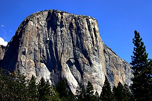
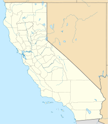
Photos • Location
|
| This is the
template test cases page for the
sandbox of
Template:Infobox climbing route. to update the examples. If there are many examples of a complicated template, later ones may break due to limits in MediaWiki; see the HTML comment " NewPP limit report" in the rendered page. You can also use Special:ExpandTemplates to examine the results of template uses. You can test how this page looks in the different skins and parsers with these links: |
Old parameters
| {{ Infobox climbing route}} | {{ Infobox climbing route/sandbox}} | ||||||||||||||||||||||||||||||||||||||||||||||||||||
|---|---|---|---|---|---|---|---|---|---|---|---|---|---|---|---|---|---|---|---|---|---|---|---|---|---|---|---|---|---|---|---|---|---|---|---|---|---|---|---|---|---|---|---|---|---|---|---|---|---|---|---|---|---|
|
| ||||||||||||||||||||||||||||||||||||||||||||||||||||
Testing map
| {{ Infobox climbing route}} | {{ Infobox climbing route/sandbox}} | ||||||||||||||||||||||||||||||||||||||||||||
|---|---|---|---|---|---|---|---|---|---|---|---|---|---|---|---|---|---|---|---|---|---|---|---|---|---|---|---|---|---|---|---|---|---|---|---|---|---|---|---|---|---|---|---|---|---|
|
| ||||||||||||||||||||||||||||||||||||||||||||


