Photos • Location
This article relies largely or entirely on a
single source. (February 2013) |
Teigebyen | |
|---|---|
Village | |
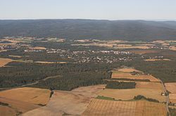
 Aerial view of Teigebyen | |
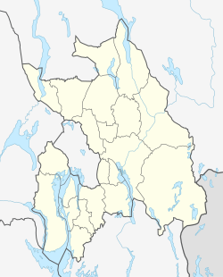
Location in
Akershus | |
| Coordinates: 60°13′22″N 11°01′27″E / 60.2228°N 11.0242°E | |
| Country | Norway |
| Region | Østlandet |
| County | Akershus |
| Municipality | Nannestad |
| Time zone | UTC+01:00 ( CET) |
| • Summer ( DST) | UTC+02:00 ( CEST) |
| Post Code | 2030 |
Teigebyen is the administrative centre in Nannestad municipality, Norway. It is located southwest of Råholt, and northwest of Gardermoen. As of 2021, its population was 3,144. [1]
References
- ^ Statistics Norway (2021). "Urban settlements. Population and area, by municipality. 1 January 2021". see 0682 Teigebyen.
