Photos • Location

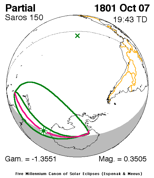
| Solar eclipse of October 7, 1801 | |
|---|---|
 Map | |
| Type of eclipse | |
| Nature | Partial |
| Gamma | −1.3552 |
| Magnitude | 0.3505 |
| Maximum eclipse | |
| Coordinates | 61°12′S 141°18′E / 61.2°S 141.3°E |
| Times ( UTC) | |
| Greatest eclipse | 19:42:34 |
| References | |
| Saros | 150 (5 of 71) |
| Catalog # (SE5000) | 9043 |
A partial solar eclipse occurred on October 7, 1801. The eclipse was visible in New Zealand and Antarctica. [1]
See also
References
- ^ "Solar eclipse of October 7, 1801". NASA. Retrieved June 15, 2012.
External links
.jpg)


|
| This solar eclipse–related article is a stub. You can help Wikipedia by expanding it. |