Photos • Location
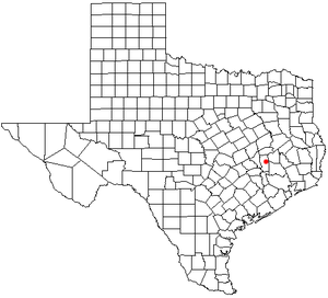
Location of Shiro in the state of Texas.

Shiro, Texas | |
|---|---|
.jpg) Roadside tire shop in Shiro | |
| Coordinates: 30°36′31″N 95°53′11″W / 30.60861°N 95.88639°W | |
| Country | United States |
| State |
|
| County | Grimes |
| Elevation | 341 ft (104 m) |
| Population (2000) | |
| • Total | 211 |
| Time zone | UTC-6 ( Central (CST)) |
| • Summer ( DST) | UTC-5 (CDT) |
| Area code | 936 |
| GNIS feature ID | 2805784 [1] |

Shiro is an unincorporated community and census-designated place (CDP) in Grimes County, Texas, United States located on State Highway 30 and the BNSF Railway in east central Grimes County.
Education
Public education in the community of Shiro is provided by the Anderson-Shiro Consolidated Independent School District. The district has two campuses, Anderson-Shiro Elementary School (grades PK-5) and Anderson-Shiro Junior/Senior High School (grades 6–12)
References
External links
- Shiro, Texas from the Handbook of Texas Online
Municipalities and communities of
Grimes County, Texas, United States | ||
|---|---|---|
| Cities |  | |
| CDPs | ||
|
Other communities | ||
| Footnotes | ‡This populated place has portions in an adjacent county or counties | |