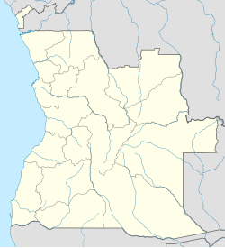
Photos • Location
Pango Aluquém | |
|---|---|
Town &
Municipality | |
| Coordinates: 08°43′S 14°28′E / 8.717°S 14.467°E | |
| Country | |
| Province | Bengo Province |
| Population (2014 Census)
[1] | |
| • Total | 7,006 |
| Time zone | UTC+1 ( WAT) |
Pango Aluquém is a municipality in the province of Bengo, in Angola.
In 2014, it had 6,571 inhabitants. It is bordered to the north by the municipality of Dembos; to the east by the municipalities of Bula Atumba and Gonguembo; to the south by the municipalities of Golungo Alto and Cambambe, and to the west by the municipality of Dande. [2]
The municipality is made up of the headquarters commune, corresponding to the city of Pango Aluquém, and the commune of Cazuangongo. [3]
See also
References
- ^ "Resultados Definitivos Recenseamento Geral da População e Habitação – 2014 Província do Bengo" (PDF). Instituto Nacional de Estatística, República de Angola. Retrieved 3 May 2020.
- ^ "Censo 2014". web.archive.org. 2017-07-11. Retrieved 2024-04-07.
- ^ "City councils of Angola". Statoids. Retrieved April 9, 2009.
