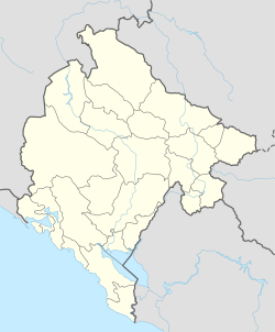
Photos • Location
Pali | |
|---|---|
Village | |
| Coordinates: 43°00′00″N 19°39′53″E / 43.0000°N 19.66472°E | |
| Country | |
| Municipality |
|
| Population (2011) | |
| • Total | 78 |
| Time zone | UTC+1 ( CET) |
| • Summer ( DST) | UTC+2 ( CEST) |
Pali ( Serbian Cyrillic: Пали) is a village in the municipality of Bijelo Polje, Montenegro.
According to the 2003 census, the village had a population of 163 people. [1]
According to the 2011 census, its population was 78. [2]
| Ethnicity | Number | Percentage |
|---|---|---|
| Serbs | 40 | 51.3% |
| Montenegrins | 29 | 37.2% |
| other/undeclared | 9 | 11.5% |
| Total | 78 | 100% |
- ^ Р E П У Б Л И К А Ц Р Н A Г O Р A, Завод за статистику: Попис становништва, домаћинстава и станова у 2003; (Подгорица, септембар 2005).
- ^ "Tabela N1. Stanovništvo prema nacinalnoj odnosno etničkoj pripadnosti po naseljima, Popis stanovništva, domaćinstava i stanova u Crnoj Gori 2011. godine" (in Montenegrin). Statistical Office of Montenegro. Retrieved January 27, 2012.
