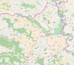
Photos • Location
Mece | |
|---|---|
| Coordinates: 45°37′23″N 18°42′47″E / 45.623°N 18.713°E | |
| Country | |
| Region | Baranya ( Podunavlje) |
| County |
|
| Municipality | Darda |
| Area | |
| • Total | 5.1 km2 (2.0 sq mi) |
| Population (2021)
[2] | |
| • Total | 763 |
| • Density | 150/km2 (390/sq mi) |
| Time zone | UTC+1 ( CET) |
| • Summer ( DST) | UTC+2 ( CEST) |
Mece ( Hungarian: Mеcepuszta; Serbian Cyrillic: Меце) [3] is a settlement in the region of Baranja, Croatia. Administratively, it is located in the Darda municipality within the Osijek-Baranja County. Population is 882 people.
See also
References
- ^ Register of spatial units of the State Geodetic Administration of the Republic of Croatia. Wikidata Q119585703.
- ^ "Population by Age and Sex, by Settlements" (xlsx). Census of Population, Households and Dwellings in 2021. Zagreb: Croatian Bureau of Statistics. 2022.
- ^ "Minority names in Croatia:Registar Geografskih Imena Nacionalnih Manjina Republike Hrvatske" (PDF). Archived from the original (PDF) on 2013-10-29. Retrieved 2013-03-08.


