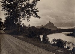
Photos • Location

| Lematang River | |
|---|---|
 | |
| Native name | Sungai Lematang ( Indonesian) |
| Location | |
| Country | Indonesia |
| Province | South Sumatra |
| Physical characteristics | |
| Mouth | Muara Lematang, Musi River (Indonesia) |
• location | Tebing Abang, Banyuasin Regency |
| Depth | |
| • minimum | 0.5 m (1 ft 8 in) |
| • maximum | 30 m (98 ft) |
| Basin features | |
| River system | Musi basin |
The Lematang River is a river located in South Sumatra, Indonesia. It has a depth of 0.5 to 30 m (1 ft 8 in to 98 ft 5 in) [1] Lematang people live along the river. [2]
- ^ E P Sagala (5 November 2019). "The study of diversity index on plankton community in Lematang River to determinate the quality of waters as habitat of local fishes". IOP Conference Series Earth and Environmental Science. 374 (1): 012019. doi: 10.1088/1755-1315/374/1/012019. ISSN 1755-1315. Wikidata Q111671179.
- ^ "Who are the Lematang?". Praying for Indonesia. Retrieved 21 April 2022.
Wikimedia Commons has media related to
Lematang River.