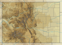
Photos • Location
| Lake Estes | |
|---|---|
 Lake Estes, Colorado. | |
| Location | Larimer County, Colorado |
| Coordinates | 40°22′36″N 105°29′18″W / 40.37667°N 105.48833°W |
| Type | reservoir |
| Surface area | 185 acres (75 ha) |
| Shore length1 | 4 miles (6.4 km) |
| Surface elevation | 7,522 ft (2,293 m) |
| 1 Shore length is not a well-defined measure. | |
Lake Estes [1] is a reservoir in Estes Park, Colorado created by Olympus Dam. The lake has a shoreline of about 4 miles (6.4 km) and a surface area of 185 acres (75 ha). The reservoir lies on the Big Thompson River and is a component of the Colorado-Big Thompson Project. [2] Lake Estes sits at 7,522 feet (2,293 m) in elevation with approximately 4 miles of shoreline within Larimer County. [3]
References
- ^ "Lake Estes". Geographic Names Information System. United States Geological Survey, United States Department of the Interior. Retrieved 2017-04-03.
- ^ Northern Water. Lake Estes. Retrieved: 2017-04-04.
- ^ "Lake Estes – Estes Park, CO | Boating, Fishing, Hiking, Camping".
