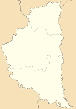
Photos • Location
You can help expand this article with text translated from
the corresponding article in Ukrainian. (September 2023) Click [show] for important translation instructions.
|
Kapustyntsi
Капустинці | |
|---|---|
| Coordinates: 48°52′17″N 25°49′27″E / 48.87139°N 25.82417°E | |
| Country | |
| Oblast | |
| Raion | Chortkiv Raion |
| Hromada | Nahirianka Hromada |
| First mentioned | 1439 |
| Time zone | UTC+2 (EET) |
| • Summer ( DST) | UTC+3 (EEST) |
| Postal code | 48564 |
Kapustyntsi ( Ukrainian: Капустинці) is a village in Nahirianka rural hromada, Chortkiv Raion, Ternopil Oblast, Ukraine. [1]
The first written mention of the settlement dates back to 1439, and it was later mentioned in 1442 as the property of Lukasz Łojowicz. [2]
- Saint Nicholas churches (OCU, 1898, brick) and the UGCC (2013, architect Ivan Hudyma) [2]
- ^ Нагірянська територіальна громада, Децентралізація
- ^ a b (in Ukrainian) Уніят В., Федечко М., Капустинці // Ternopil region. History of cities and villages: in 3 v. / Ternopil: "Terno-graph", 2014, V. 3: М—Ш, S. 477—478. — ISBN 978-966-457-246-7.
