Photos • Location
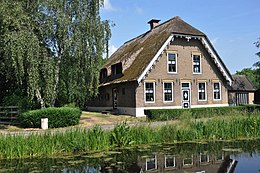
Farm in Het Beijersche.

Het Beijersche | |
|---|---|
Town | |
 A typical
polder near the town | |
 | |
 The village (dark green) and the statistical district (light green) of Het Beijersche in the former municipality of Vlist. | |
| Coordinates: 51°59′N 4°44′E / 51.983°N 4.733°E | |
| Country | Netherlands |
| Province | South Holland |
| Municipality | Krimpenerwaard |
| Population (January 1, 2005) | |
| • Total | 350 |
| Time zone | UTC+1 ( CET) |
| • Summer ( DST) | UTC+2 ( CEST) |
Het Beijersche is a town in the Dutch province of South Holland. It is a part of the municipality of Krimpenerwaard, and lies about 4 km south of Gouda.
The statistical area "Het Beijersche", which also can include the surrounding countryside, has a population of around 350. [1]
Until 2015, Het Beijersche was part of Vlist.
- ^ Statistics Netherlands (CBS), Statline: Kerncijfers wijken en buurten 2003-2005. As of January 1, 2005.
,_Stolwijk,_Het_Beijersche.JPG)
|
| This South Holland location article is a stub. You can help Wikipedia by expanding it. |