Photos • Location


Size of this preview:
800 × 600 pixels. Other resolutions:
320 × 240 pixels |
640 × 480 pixels |
826 × 619 pixels.
Original file (826 × 619 pixels, file size: 263 KB, MIME type: image/jpeg)
| This is a file from the
Wikimedia Commons. Information from its
description page there is shown below. Commons is a freely licensed media file repository. You can help. |
Summary
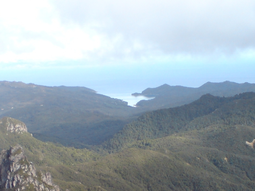
| Description | Whangaparapara Harbour in the southwest from the summit platform of Mount Hobson, Great Barrier Island, New Zealand. |
| Date | |
| Source | Self-photographed |
| Author | Ingolfson |
| Other versions |

.jpg)
| Camera location |
| View this and other nearby images on: OpenStreetMap |
|
|---|
.jpg¶ms=-36.186394_N_0175.412693_E_globe:Earth_type:camera__&language=en)
Licensing
| I, the copyright holder of this work, release this work into the
public domain. This applies worldwide. In some countries this may not be legally possible; if so: I grant anyone the right to use this work for any purpose, without any conditions, unless such conditions are required by law. |
File history
Click on a date/time to view the file as it appeared at that time.
| Date/Time | Thumbnail | Dimensions | User | Comment | |
|---|---|---|---|---|---|
| current | 07:03, 4 September 2022 |
| 826 × 619 (263 KB) | Prosperosity | File:Whangaparapara From Mount Hobson.jpg cropped 48 % horizontally, 48 % vertically using CropTool with lossless mode. |
File usage
The following pages on the English Wikipedia use this file (pages on other projects are not listed):
Global file usage
The following other wikis use this file:
- Usage on www.wikidata.org
.jpg)