
Size of this preview:
660 × 600 pixels. Other resolutions:
264 × 240 pixels |
528 × 480 pixels |
845 × 768 pixels |
1,127 × 1,024 pixels |
1,988 × 1,806 pixels.
Original file (1,988 × 1,806 pixels, file size: 159 KB, MIME type: image/png)
| This is a file from the
Wikimedia Commons. Information from its
description page there is shown below. Commons is a freely licensed media file repository. You can help. |
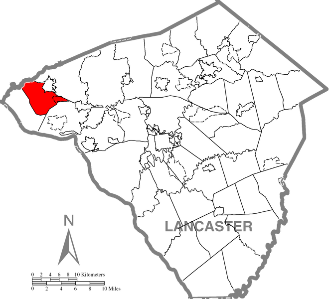
| Description | Highlighted Lancaster County map of West Donegal Township. | |||
| Date | ||||
| Source | Source image taken from the United States Census Bureau's website pa_cosub.pdf. Image was modified by Ram-Man. | |||
| Author | (c)2006 Derek Ramsey ( Ram-Man) (from U.S. Census Bureau source) | |||
| Permission ( Reusing this file) |
A United States Census Bureau / Government work is in the public domain, however, my modifications are licensed as follows: You may NOT use this image on your own web site or anywhere else unless you release this image and any derivative works (e.g. your web site) by following the terms of one of the following licenses. Any other use will be considered a breach of copyright and I reserve the right of legal action. If you have not read the terms of these licenses or do not understand them, then do not use this image. I, the copyright holder of this work, hereby publish it under the following licenses:
This file is licensed under the
Creative Commons Attribution-Share Alike
2.5 Generic,
2.0 Generic and
1.0 Generic license.
You may select the license of your choice. |

File history
Click on a date/time to view the file as it appeared at that time.
| Date/Time | Thumbnail | Dimensions | User | Comment | |
|---|---|---|---|---|---|
| current | 23:47, 5 October 2006 |
| 1,988 × 1,806 (159 KB) | Ram-Man | {{Information| |Description=Highlighted Lancaster County map of West Donegal Township. |Source=Source image taken from the United States Census Bureau's website [http://ww |
File usage
The following pages on the English Wikipedia use this file (pages on other projects are not listed):
Global file usage
The following other wikis use this file:
- Usage on cy.wikipedia.org
- Usage on es.wikipedia.org
- Usage on fr.wikipedia.org
- Usage on www.wikidata.org