Size of this preview:
800 × 585 pixels. Other resolutions:
320 × 234 pixels |
640 × 468 pixels |
926 × 677 pixels.
Original file (926 × 677 pixels, file size: 1.66 MB, MIME type: image/png)
| This is a file from the
Wikimedia Commons. Information from its
description page there is shown below. Commons is a freely licensed media file repository. You can help. |
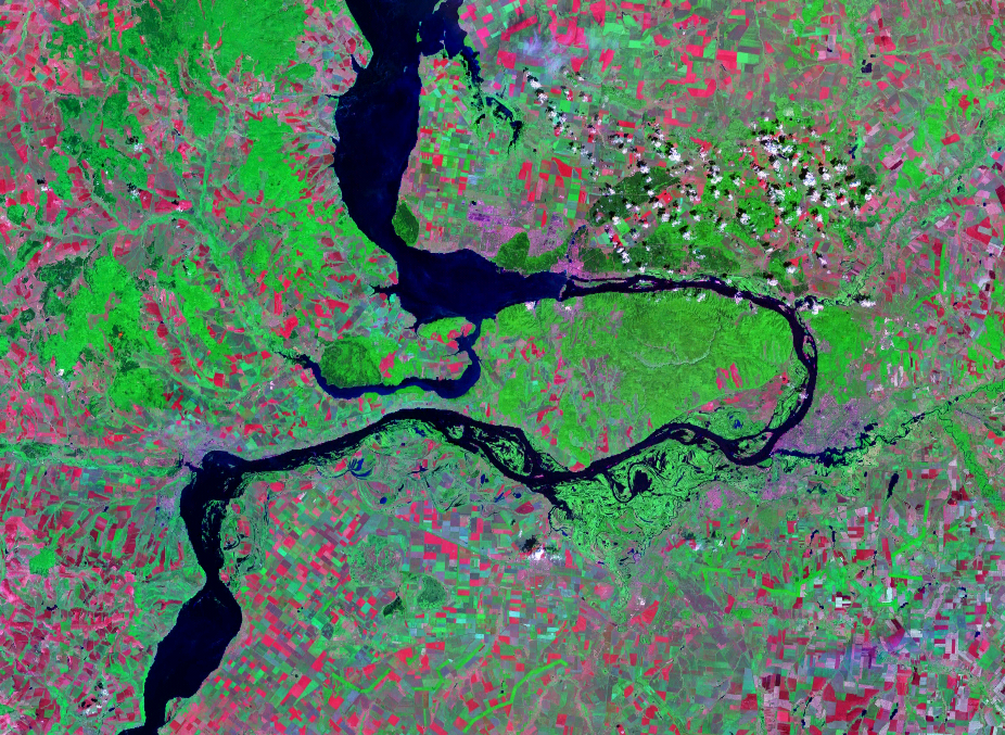
| Description | Satellite image of the Samara Bend in the Volga River | |||
| Date | Geocover 2000 dataset | |||
| Source | Nasa World Wind | |||
| Author | Nasa | |||
| Permission ( Reusing this file) |
|

File history
Click on a date/time to view the file as it appeared at that time.
| Date/Time | Thumbnail | Dimensions | User | Comment | |
|---|---|---|---|---|---|
| current | 13:28, 14 August 2007 |
| 926 × 677 (1.66 MB) | Hardscarf | |
| 13:20, 14 August 2007 |
 | 1,024 × 677 (1.48 MB) | Hardscarf | {{Information |Description=Satellite image of the Samara Bend in the Volga River |Source=Nasa World Wind |Date=Geocover 2000 dataset |Author=Nasa |Permission={{PD-World Wind}} |other_versions= }} Category:Samara Oblast Category:Volga River |
File usage
The following pages on the English Wikipedia use this file (pages on other projects are not listed):
Global file usage
The following other wikis use this file:
- Usage on be-tarask.wikipedia.org
- Usage on be.wikipedia.org
- Usage on cv.wikipedia.org
- Usage on es.wikipedia.org
- Usage on fr.wikipedia.org
- Usage on hu.wikipedia.org
- Usage on ig.wikipedia.org
- Usage on ja.wikipedia.org
- Usage on la.wikipedia.org
- Usage on mk.wikipedia.org
- Usage on nl.wikipedia.org
- Usage on pl.wikipedia.org
- Usage on pt.wikipedia.org
- Usage on ru.wikipedia.org
- Usage on sr.wikipedia.org
- Usage on uk.wikipedia.org
- Usage on www.wikidata.org