Photos • Location


Size of this preview:
800 × 579 pixels. Other resolutions:
320 × 231 pixels |
640 × 463 pixels |
1,024 × 740 pixels |
1,280 × 926 pixels |
1,600 × 1,157 pixels.
Original file (1,600 × 1,157 pixels, file size: 469 KB, MIME type: image/jpeg)
| This is a file from the
Wikimedia Commons. Information from its
description page there is shown below. Commons is a freely licensed media file repository. You can help. |
|
This is an image of a place or building that is listed on the
National Register of Historic Places in the
United States of America. Its reference number is
75000003. |
Summary
| Description |
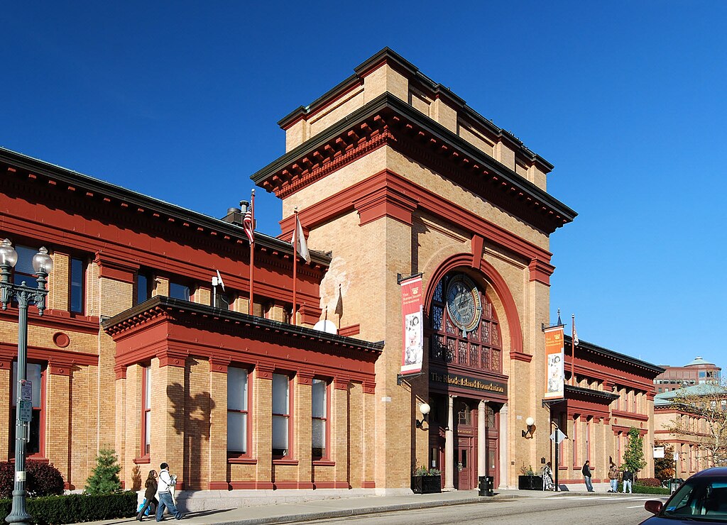
English: Union Station, Providence, Rhode Island |
| Date | |
| Source | Own work |
| Author | Marcbela |
| Object location |
| View this and other nearby images on: OpenStreetMap |
|
|---|
Licensing
| I, the copyright holder of this work, release this work into the
public domain. This applies worldwide. In some countries this may not be legally possible; if so: I grant anyone the right to use this work for any purpose, without any conditions, unless such conditions are required by law. |
File history
Click on a date/time to view the file as it appeared at that time.
| Date/Time | Thumbnail | Dimensions | User | Comment | |
|---|---|---|---|---|---|
| current | 15:13, 30 April 2011 |
| 1,600 × 1,157 (469 KB) | Marcbela | |
| 14:05, 19 July 2008 |
 | 600 × 450 (119 KB) | Marcbela | {{Information |Description={{en|1=Union Station, Providence, Rhode Island}} |Source=Own work by uploader |Author= Marcbela |Date=2008 |Permission= |other_versions= }} {{ImageUpload|full}} Category:Providence, Rhode Island |
File usage
The following pages on the English Wikipedia use this file (pages on other projects are not listed):
Global file usage
The following other wikis use this file:
- Usage on de.wikipedia.org
- Usage on es.wikipedia.org
- Usage on www.wikidata.org