
Size of this PNG preview of this SVG file:
800 × 405 pixels. Other resolutions:
320 × 162 pixels |
640 × 324 pixels |
1,024 × 519 pixels |
1,280 × 649 pixels |
2,560 × 1,297 pixels |
1,500 × 760 pixels.
Original file (SVG file, nominally 1,500 × 760 pixels, file size: 662 KB)
| This is a file from the
Wikimedia Commons. Information from its
description page there is shown below. Commons is a freely licensed media file repository. You can help. |
Summary
| Description |
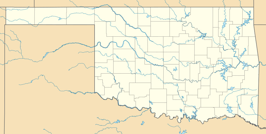
Quadratische Plattkarte, N-S-Streckung 120.0 %. Geographische Begrenzung der Karte:
Equirectangular projection, N/S stretching 120.0 %. Geographic limits of the map:
|
| Date | |
| Source | Own work |
| Author | Alexrk |
| Other versions |
Derivative works of this file: BMO Harris Bank 2012-06.png Derivative works of this file: |

|
This map has been made or improved in the German
Kartenwerkstatt (Map Lab). You can
propose maps to improve as well.
|
Licensing
I, the copyright holder of this work, hereby publish it under the following licenses:

|
Permission is granted to copy, distribute and/or modify this document under the terms of the GNU Free Documentation License, Version 1.2 or any later version published by the Free Software Foundation; with no Invariant Sections, no Front-Cover Texts, and no Back-Cover Texts. A copy of the license is included in the section entitled GNU Free Documentation License. |
This file is licensed under the
Creative Commons
Attribution 3.0 Unported license.
- You are free:
- to share – to copy, distribute and transmit the work
- to remix – to adapt the work
- Under the following conditions:
- attribution – You must give appropriate credit, provide a link to the license, and indicate if changes were made. You may do so in any reasonable manner, but not in any way that suggests the licensor endorses you or your use.
You may select the license of your choice.
File history
Click on a date/time to view the file as it appeared at that time.
| Date/Time | Thumbnail | Dimensions | User | Comment | |
|---|---|---|---|---|---|
| current | 18:15, 19 June 2009 |
| 1,500 × 760 (662 KB) | Alexrk2 | fixed page size |
| 18:12, 19 June 2009 |
 | 1,200 × 608 (651 KB) | Alexrk2 | corr | |
| 12:37, 14 June 2009 |
 | 1,500 × 760 (491 KB) | Alexrk2 | enh | |
| 14:03, 13 June 2009 |
 | 1,500 × 760 (199 KB) | Alexrk2 | == Beschreibung == {{Information |Description= {{de|Positionskarte von Oklahoma, USA}} Quadratische Plattkarte, N-S-Streckung 120.0 %. Geographische Begrenzung der Karte: * N: 37.2° N * S: 33.4° N * W: 103.2° W * O: 94.2° |
File usage
More than 100 pages use this file. The following list shows the first 100 pages that use this file only. A full list is available.
- Achille, Oklahoma
- Alabaster Caverns State Park
- Alderson, Oklahoma
- Alfred P. Murrah Federal Building
- Allen, Oklahoma
- Arkoma, Oklahoma
- Asher, Oklahoma
- Ballou, Oklahoma
- Battle of the Washita River
- Belfonte, Oklahoma
- Berryhill, Oklahoma
- Bixby, Oklahoma
- Boston Avenue Methodist Church
- Brent, Oklahoma
- Bricktown, Oklahoma City
- Brush Creek, Oklahoma
- Bull Hollow, Oklahoma
- Bunch, Oklahoma
- Carlisle, Oklahoma
- Cayuga, Oklahoma
- Cherokee, Oklahoma
- Cloud Creek, Oklahoma
- Copeland, Delaware County, Oklahoma
- Custer City, Oklahoma
- Dewey, Oklahoma
- Dickson, Oklahoma
- Disney, Oklahoma
- Dover, Oklahoma
- Dripping Springs, Delaware County, Oklahoma
- Duchess Landing, Oklahoma
- Dwight Mission, Oklahoma
- Dwight Presbyterian Mission
- Ed Galloway's Totem Pole Park
- El Reno, Oklahoma
- Elohim City, Oklahoma
- Evening Shade, Oklahoma
- Flint Creek, Oklahoma
- Flute Springs, Oklahoma
- Fort Sill
- Fort Towson
- Greenwood District, Tulsa
- Gregory, Oklahoma
- Guthrie, Oklahoma
- Hastings, Oklahoma
- Hoot Owl, Oklahoma
- Iron Post, Oklahoma
- Keota, Oklahoma
- Kingfisher, Oklahoma
- Kinta, Oklahoma
- Lake, Oklahoma
- Limestone, Oklahoma
- List of Oklahoma state parks
- Lotsee, Oklahoma
- Madill, Oklahoma
- Marble City Community, Oklahoma
- McCord, Oklahoma
- McCurtain, Oklahoma
- Meridian, Logan County, Oklahoma
- Morrison, Oklahoma
- Muskogee, Oklahoma
- National Softball Hall of Fame and Museum
- New Eucha, Oklahoma
- Oaks, Oklahoma
- Oklahoma
- Oklahoma City National Memorial
- Oklahoma State Capitol
- Oklahoma State University System
- Okmulgee, Oklahoma
- Old Eucha, Oklahoma
- Pinhook Corners, Oklahoma
- Pittsburg, Oklahoma
- Prattville, Oklahoma
- Price Tower
- Pump Back, Oklahoma
- Red Fork, Oklahoma
- Redbird Smith, Oklahoma
- River Bottom, Oklahoma
- Rocky Ford, Oklahoma
- Sallisaw, Oklahoma
- Sams Corner, Oklahoma
- Sand Hills, Oklahoma
- Shady Grove, McIntosh County, Oklahoma
- Short, Oklahoma
- Simms, Oklahoma
- Sour John, Oklahoma
- Sportsmen Acres Community, Oklahoma
- Spring Creek, Oklahoma
- St. Louis, Oklahoma
- Stigler, Oklahoma
- Stony Point, Oklahoma
- Sycamore, Delaware County, Oklahoma
- Sycamore, Sequoyah County, Oklahoma
- Tagg Flats, Oklahoma
- Tahlequah, Oklahoma
- Tamaha, Oklahoma
- Texanna, Oklahoma
- University of Science and Arts of Oklahoma
- Watts Community, Oklahoma
- Waurika, Oklahoma
- Weatherford, Oklahoma
View more links to this file.
Global file usage
The following other wikis use this file:
- Usage on an.wikipedia.org
- Usage on ar.wikipedia.org
- Usage on azb.wikipedia.org
- تولسا
- ودرفرد، اوکلاهوما
- لتن، اوکلاهوما
- واوریکا، اوکلاهوما
- سلیساو، اوکلاهوما
- کینقفیشر، اوکلاهوما
- دوی، اوکلاهوما
- نسکاتونقا، اوکلاهوما
- واتس، اوکلاهوما
- ماربل سیتی کامیونتی، اوکلاهوما
- اسپورتسمن ایکرز کامیونیتی، اوکلاهوما
- سند هیلز، اوکلاهما
- پینهوک کورنرز، اوکلاهما
- ببز، اوکلاهوما
- بالکو، اوکلاهوما
- الموود، اوکلاهوما
- انویل، اوکلاهوما
- اویل سیتی، اوکلاهوما
- ایدیلات، اوکلاهوما
- ایقل سیتی، اوکلاهوما
- بارنیویل، اوکلاهوما
- بانچ، اوکلاهوما
- بتیست، اوکلاهوما
- برلین، اوکلاهما
- برینکمن، اوکلاهوما
- بلنکو، اوکلاهاما
- بنتلی، اوکلاهوما
- بورینق، اوکلاهوما
- بیکر، اوکلاهوما
- پانولا، اکلاهاما
- داندی، اوکلاهوما
- دورهام، اوکلاهوما
- دیزی، اوکلاهوما
- سانری، اوکلاهوما
- سدل ماونتن، اوکلاهوما
- سکرد هارت، اوکلاهوما
- فاریس، اوکلاهوما
- فاکس، اوکلاهوما
- فراقویل، اوکلاهوما
- فیلمور، اوکلاهوما
- قرادی، اوکلاهوما
- قری هورس، اوکلاهما
- کانتیلاین، اوکلاهوما
- کانچو، اوکلاهوما
- کانرویل، اوکلاهوما
- کراتچو، اوکلاهوما
View more global usage of this file.