
Size of this PNG preview of this SVG file:
800 × 516 pixels. Other resolutions:
320 × 206 pixels |
640 × 413 pixels |
1,024 × 660 pixels |
1,280 × 825 pixels |
2,560 × 1,651 pixels |
1,126 × 726 pixels.
Original file (SVG file, nominally 1,126 × 726 pixels, file size: 271 KB)
| This is a file from the
Wikimedia Commons. Information from its
description page there is shown below. Commons is a freely licensed media file repository. You can help. |
| Description |
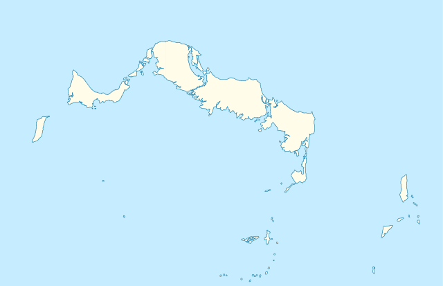
Deutsch: Positionskarte der
Turks- und Caicosinseln
Quadratische Plattkarte, N-S-Streckung. Geographische Begrenzung der Karte:
English: Location map of the
Turks and Caicos Islands
Equirectangular projection, N/S stretching. Geographic limits of the map:
|
| Date | |
| Source | own work, using the General Mapping Tools |
| Author | Carport |
| Permission ( Reusing this file) |
This file is licensed under the
Creative Commons
Attribution-Share Alike 3.0 Unported license.
|

|
This map has been made or improved in the German
Kartenwerkstatt (Map Lab). You can
propose maps to improve as well.
|
File history
Click on a date/time to view the file as it appeared at that time.
| Date/Time | Thumbnail | Dimensions | User | Comment | |
|---|---|---|---|---|---|
| current | 09:38, 9 April 2010 |
| 1,126 × 726 (271 KB) | Carport | borders corrected |
| 09:30, 9 April 2010 |
 | 1,126 × 726 (271 KB) | Carport | {{Information |Description= {{de|Positionskarte der {{w|Turks- und Caicosinseln|3=de}} }} Quadratische Plattkarte, N-S-Streckung. Geographische Begrenzung der Karte: * N: 22.10° N * S: 21.14° N * W: 72.60° W * O: 71.00° W {{en|Location map of the {{w| |
File usage
The following pages on the English Wikipedia use this file (pages on other projects are not listed):
- Ambergris Cay
- Blue Hills, Turks and Caicos Islands
- Dellis Cay
- East Caicos
- Grand Turk Island
- JAGS McCartney International Airport
- Middle Caicos
- Middle Caicos Airport
- North Caicos
- North Caicos Airport
- Parrot Cay
- Pine Cay
- Providenciales
- Providenciales International Airport
- Salt Cay, Turks Islands
- Salt Cay Airport
- South Caicos
- South Caicos Airport
- West Caicos
- Wheeland
- User:Michael!/Project:Location map templates/United Kingdom
- Module:Location map/data/Turks and Caicos Islands
- Module:Location map/data/United Kingdom Turks and Caicos Islands
- Module:Location map/data/United Kingdom Turks and Caicos Islands/doc
Global file usage
The following other wikis use this file:
- Usage on af.wikipedia.org
- Usage on an.wikipedia.org
- Usage on ar.wikipedia.org
- Usage on ast.wikipedia.org
- Usage on ba.wikipedia.org
- Usage on be-tarask.wikipedia.org
- Usage on be.wikipedia.org
- Usage on bg.wikipedia.org
- Usage on ceb.wikipedia.org
- Plantilya:Location map United Kingdom Turks and Caicos Islands
- Long Bay
- Bird Island
- High Rock
- Grassy Creek
- South Rock
- South Bluff
- Blue Hills
- White Cay
- Water Cay
- Southwest Point
- Salt Cay
- Caye de Sel
- Pine Cay
- Hog Cay
- Pelican Cay
- Pear Cay
- Mangrove Cay
- Long Cay
- Iguana Cay
- French Cay
- Fish Cays
- Cotton Cay
- Conch Cay
- Cockburn Town
- Chalk Sound
- Breezy Point
- The Bight
- Ambergris Cays
- Toney Rock
- East Cay
- Seal Cays
- Little Water Cay
- Sand Cay
- East Bay
View more global usage of this file.