Photos • Location


Size of this preview:
800 × 403 pixels. Other resolutions:
320 × 161 pixels |
640 × 323 pixels |
1,024 × 516 pixels |
1,280 × 645 pixels |
3,000 × 1,512 pixels.
Original file (3,000 × 1,512 pixels, file size: 623 KB, MIME type: image/jpeg)
| This is a file from the
Wikimedia Commons. Information from its
description page there is shown below. Commons is a freely licensed media file repository. You can help. |
Summary
| Description |
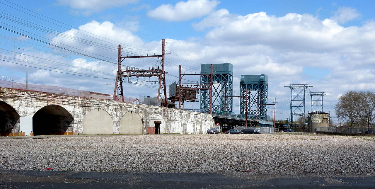
English: View of
Newark Drawbridge, also known as the Morristown Line Bridge, a railroad bridge crossing the Passaic River. The
William A. Stickel Memorial Bridge is seen in the background. Looking east from Broad Street on a sunny midday. |
| Date | |
| Source | Own work |
| Author | Jim.henderson |
| Camera location | | View this and other nearby images on: OpenStreetMap |
|
|---|
Licensing
| I, the copyright holder of this work, release this work into the
public domain. This applies worldwide. In some countries this may not be legally possible; if so: I grant anyone the right to use this work for any purpose, without any conditions, unless such conditions are required by law. |
File history
Click on a date/time to view the file as it appeared at that time.
| Date/Time | Thumbnail | Dimensions | User | Comment | |
|---|---|---|---|---|---|
| current | 21:58, 19 May 2009 |
| 3,000 × 1,512 (623 KB) | Jim.henderson | {{Information |Description={{en|1=Looking east from Broad Street as railroad bridge crosses the Passaic on a sunny midday.}} |Source=Own work by uploader |Author= Jim.henderson |Date=2009-04-23 |Permission= |other_versions= }} <!--{ |
File usage
The following pages on the English Wikipedia use this file (pages on other projects are not listed):
Global file usage
The following other wikis use this file:
- Usage on www.wikidata.org