
Original file (4,000 × 3,000 pixels, file size: 3.31 MB, MIME type: image/jpeg)
| This is a file from the
Wikimedia Commons. Information from its
description page there is shown below. Commons is a freely licensed media file repository. You can help. |
.jpg)
Summary
| Description |
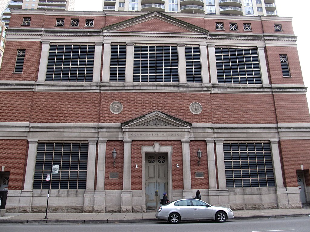
Commonwealth Edison (commonly known as ComEd due to the name's portmanteau) is the largest electric utility in Illinois, serving the Chicago and Northern Illinois area. The service territory roughly borders in Iroquois County to the south, the Wisconsin border to the north, the Iowa border to the west, and the Indiana border to the east. For more than 100 years, Commonwealth Edison has been the primary electric delivery services company for Northern Illinois. Today, ComEd is a unit of Chicago-based Exelon Corporation (NYSE: EXC), one of the nation's largest electric and gas utility holding companies. ComEd provides electric service to more than 3.7 million customers across Northern Illinois. Commonwealth Edison's transmission lines operate at voltages of 69,000, 138,000, 345,000, and 765,000 volts, delivering power to their 3.8 million customer base. ComEd's subtransmission voltage is 34,500 volts. Their distribution line voltages are 4,160 volts, 7,200/12,470 volts and 7,970/13,800 volts. The company's revenues total more than $15 billion annually. ComEd has interconnections with American Electric Power on its 765KV system and with Wisconsin Electric to the north on its 345KV and 138KV systems and with Ameren to the south on its 345KV system. en.wikipedia.org/wiki/Commonwealth_Edison en.wikipedia.org/wiki/Wikipedia:Text_of_Creative_Commons_... |
| Date | |
| Source | Old ComEd Building, Near North, Chicago, Illinois |
| Author | Ken Lund from Reno, Nevada, USA |
| Camera location |
| View this and other nearby images on: OpenStreetMap |
|
|---|
.jpg¶ms=041.893308_N_-087.630107_E_globe:Earth_type:camera_source:Flickr_&language=en)
Licensing
- You are free:
- to share – to copy, distribute and transmit the work
- to remix – to adapt the work
- Under the following conditions:
- attribution – You must give appropriate credit, provide a link to the license, and indicate if changes were made. You may do so in any reasonable manner, but not in any way that suggests the licensor endorses you or your use.
- share alike – If you remix, transform, or build upon the material, you must distribute your contributions under the same or compatible license as the original.
| This image was originally posted to Flickr by Ken Lund at https://flickr.com/photos/75683070@N00/11004366204. It was reviewed on 2 March 2017 by FlickreviewR and was confirmed to be licensed under the terms of the cc-by-sa-2.0. |
File history
Click on a date/time to view the file as it appeared at that time.
| Date/Time | Thumbnail | Dimensions | User | Comment | |
|---|---|---|---|---|---|
| current | 03:08, 2 March 2017 |
| 4,000 × 3,000 (3.31 MB) | Victorgrigas | Transferred from Flickr via Flickr2Commons |
.jpg)