Photos • Location


Size of this preview:
800 × 600 pixels. Other resolutions:
320 × 240 pixels |
640 × 480 pixels |
1,024 × 768 pixels |
1,280 × 960 pixels.
Original file (1,280 × 960 pixels, file size: 329 KB, MIME type: image/jpeg)
| This is a file from the
Wikimedia Commons. Information from its
description page there is shown below. Commons is a freely licensed media file repository. You can help. |
Summary
| Description |
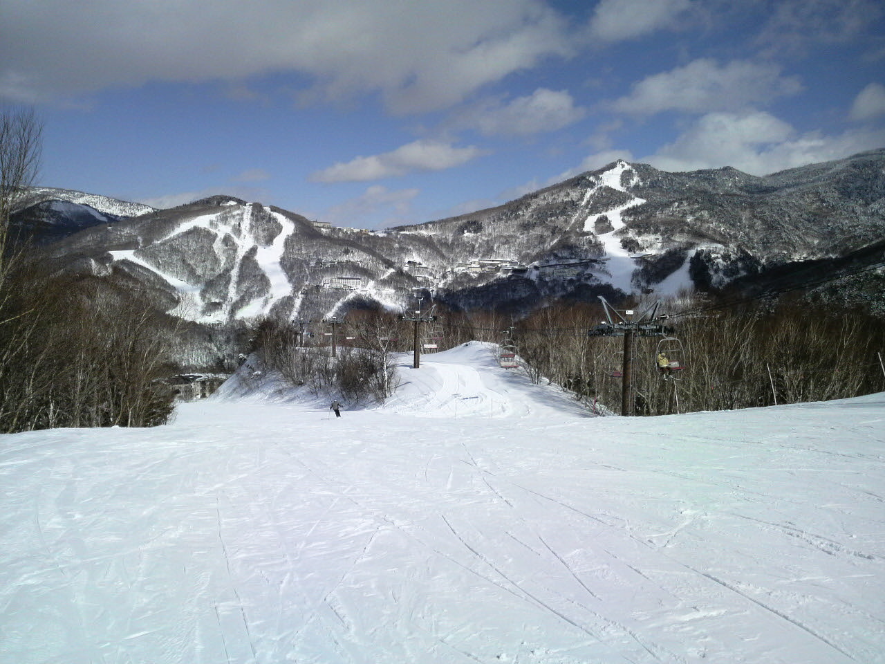
English: Mount Nishidate (left) & Higashidate (right) seen from the southwest. Taken from Hasuike Ski Resort.
|
| Date | |
| Source | Own work |
| Author | Takkitakitaki |
| Camera location | | View this and other nearby images on: OpenStreetMap |
|
|---|
Licensing
| I, the copyright holder of this work, release this work into the
public domain. This applies worldwide. In some countries this may not be legally possible; if so: I grant anyone the right to use this work for any purpose, without any conditions, unless such conditions are required by law. |
File history
Click on a date/time to view the file as it appeared at that time.
| Date/Time | Thumbnail | Dimensions | User | Comment | |
|---|---|---|---|---|---|
| current | 11:35, 19 December 2011 |
| 1,280 × 960 (329 KB) | Rotatebot | Bot: Reset EXIF-specified Orientation of image (EXIF-Orientation set from 6 to 1, rotated 0°) |
| 15:39, 21 February 2010 |
 | 960 × 1,280 (329 KB) | Takkitakitaki~commonswiki | {{Information |Description={{en|1=M't Higashidate&Nishidate}} {{ja|1=東館山と西舘山}} |Source=私が携帯電話(NTTドコモ:P-01A)撮影 |Author=私 |Date=2010/2/20 |Permission= |other_versions= }} Category:Ski resorts in Japan |
File usage
The following pages on the English Wikipedia use this file (pages on other projects are not listed):
Global file usage
The following other wikis use this file: