
Size of this preview:
679 × 600 pixels. Other resolutions:
272 × 240 pixels |
543 × 480 pixels |
870 × 768 pixels |
1,159 × 1,024 pixels |
1,551 × 1,370 pixels.
Original file (1,551 × 1,370 pixels, file size: 136 KB, MIME type: image/png)
| This is a file from the
Wikimedia Commons. Information from its
description page there is shown below. Commons is a freely licensed media file repository. You can help. |
Summary
| Description |
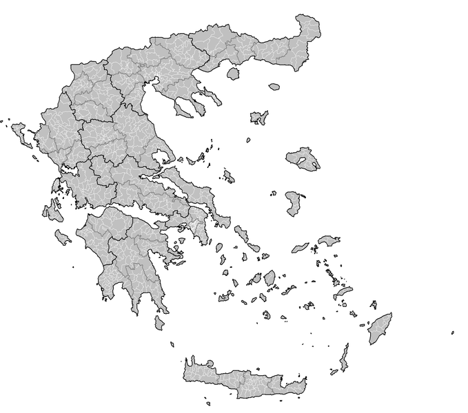
English: Map of the municipalities of Greece. |
| Date | |
| Source | Own work - created by Rarelibra 23:33, 4 October 2007 (UTC) for public domain use, using MapInfo Professional v8.5 and various mapping resources. |
| Author | Rarelibra |
Licensing
| I, the copyright holder of this work, release this work into the
public domain. This applies worldwide. In some countries this may not be legally possible; if so: I grant anyone the right to use this work for any purpose, without any conditions, unless such conditions are required by law. |
File history
Click on a date/time to view the file as it appeared at that time.
| Date/Time | Thumbnail | Dimensions | User | Comment | |
|---|---|---|---|---|---|
| current | 13:44, 29 October 2007 |
| 1,551 × 1,370 (136 KB) | Rarelibra | current |
| 20:06, 5 October 2007 |
 | 2,112 × 1,632 (105 KB) | Rarelibra | ||
| 20:05, 5 October 2007 |
 | 2,112 × 1,632 (105 KB) | Rarelibra | Finished East Attica... | |
| 19:06, 5 October 2007 |
 | 2,112 × 1,632 (102 KB) | Rarelibra | updated map with corrections as noted from user Bogomolov.PL (and much thanks to his rather detailed critique!) | |
| 23:34, 4 October 2007 |
 | 1,728 × 2,304 (224 KB) | Rarelibra | Updated image size. | |
| 23:33, 4 October 2007 |
 | 3,456 × 4,608 (288 KB) | Rarelibra | Map of the municipalities of Greece. Created by ~~~~ for public domain use, using MapInfo Professional v8.5 and various mapping resources. NOTE: The map is incomplete due to the unavailable data for East Attica prefecture. This will be resolved soon. |
File usage
The following pages on the English Wikipedia use this file (pages on other projects are not listed):
Global file usage
The following other wikis use this file:
- Usage on el.wikipedia.org
- Κατάλογος δήμων ανά νομό (πρόγραμμα Καποδίστριας)
- Κατάλογος δήμων και κοινοτήτων Ελλάδας (πρόγραμμα Καποδίστριας)
- Σχέδιο «Καποδίστριας»
- Χρήστης:Costas78
- Βικιπαίδεια:Επιχείρηση Δήμοι της Ελλάδας
- Κοινότητα (τοπική αυτοδιοίκηση)
- Δημοτική ενότητα
- Βικιπαίδεια:Επιχείρηση Δήμοι της Ελλάδας/πρότυπο
- Χρήστης:KOSTASatWIKI
- Κατάλογος κοινοτήτων Ελλάδας ανά νομό 1999-2010
- Usage on el.wiktionary.org
- Usage on fi.wikipedia.org
- Usage on sr.wikipedia.org