Photos • Location


Size of this preview:
599 × 599 pixels. Other resolutions:
240 × 240 pixels |
480 × 480 pixels |
767 × 768 pixels |
1,023 × 1,024 pixels |
2,506 × 2,508 pixels.
Original file (2,506 × 2,508 pixels, file size: 1.73 MB, MIME type: image/jpeg)
| This is a file from the
Wikimedia Commons. Information from its
description page there is shown below. Commons is a freely licensed media file repository. You can help. |
Summary
| Description |
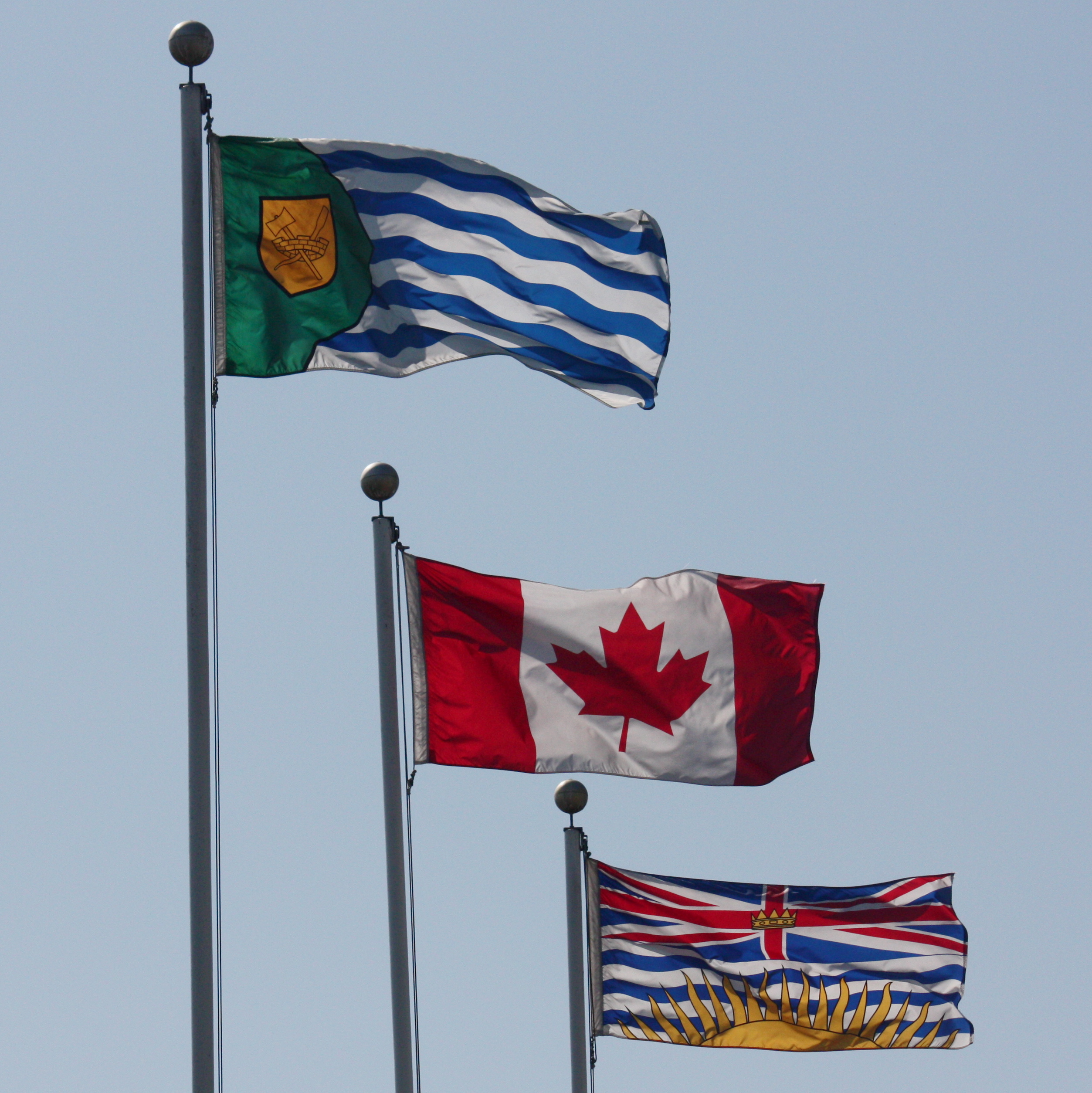
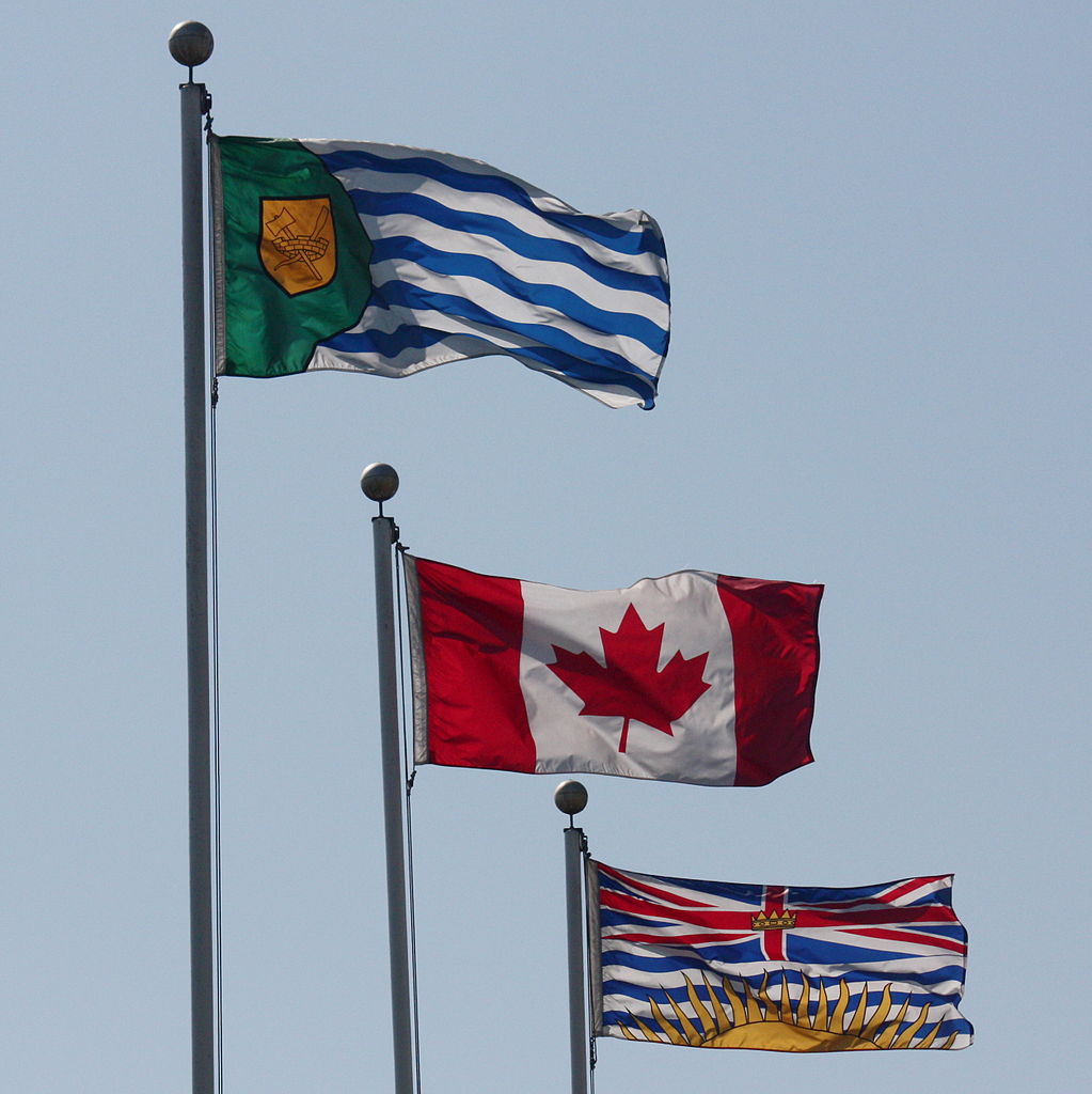
English: From left to right: the flags of Vancouver, Canada, and British Columbia, flying side-by-side in Vanier Park, near downtown Vancouver |
| Date | |
| Source | Own work |
| Author | Taken by the uploader |
| Permission ( Reusing this file) |
released into public domain |
| Camera location |
| View this and other nearby images on: OpenStreetMap |
|
|---|
Licensing
| I, the copyright holder of this work, release this work into the
public domain. This applies worldwide. In some countries this may not be legally possible; if so: I grant anyone the right to use this work for any purpose, without any conditions, unless such conditions are required by law. |
File history
Click on a date/time to view the file as it appeared at that time.
| Date/Time | Thumbnail | Dimensions | User | Comment | |
|---|---|---|---|---|---|
| current | 01:34, 15 June 2009 |
| 2,506 × 2,508 (1.73 MB) | Makaristos | {{Information |Description={{en|1=From left to right: the flags of Vancouver, Canada, and British Columbia, flying side-by-side in Vanier Park, near downtown Vancouver}} |Source=Own work by uploader |Author=Taken by the uploader |Date=2009-06-14 |Permissi |
File usage
The following pages on the English Wikipedia use this file (pages on other projects are not listed):
Global file usage
The following other wikis use this file:
- Usage on ceb.wikipedia.org
- Usage on en.wikivoyage.org
- Usage on fr.wikipedia.org
- Usage on www.wikidata.org