Photos • Location


Size of this preview:
800 × 498 pixels. Other resolutions:
320 × 199 pixels |
640 × 399 pixels |
1,024 × 638 pixels |
1,280 × 797 pixels |
1,985 × 1,236 pixels.
Original file (1,985 × 1,236 pixels, file size: 426 KB, MIME type: image/jpeg)
| This is a file from the
Wikimedia Commons. Information from its
description page there is shown below. Commons is a freely licensed media file repository. You can help. |
Summary
| Description |
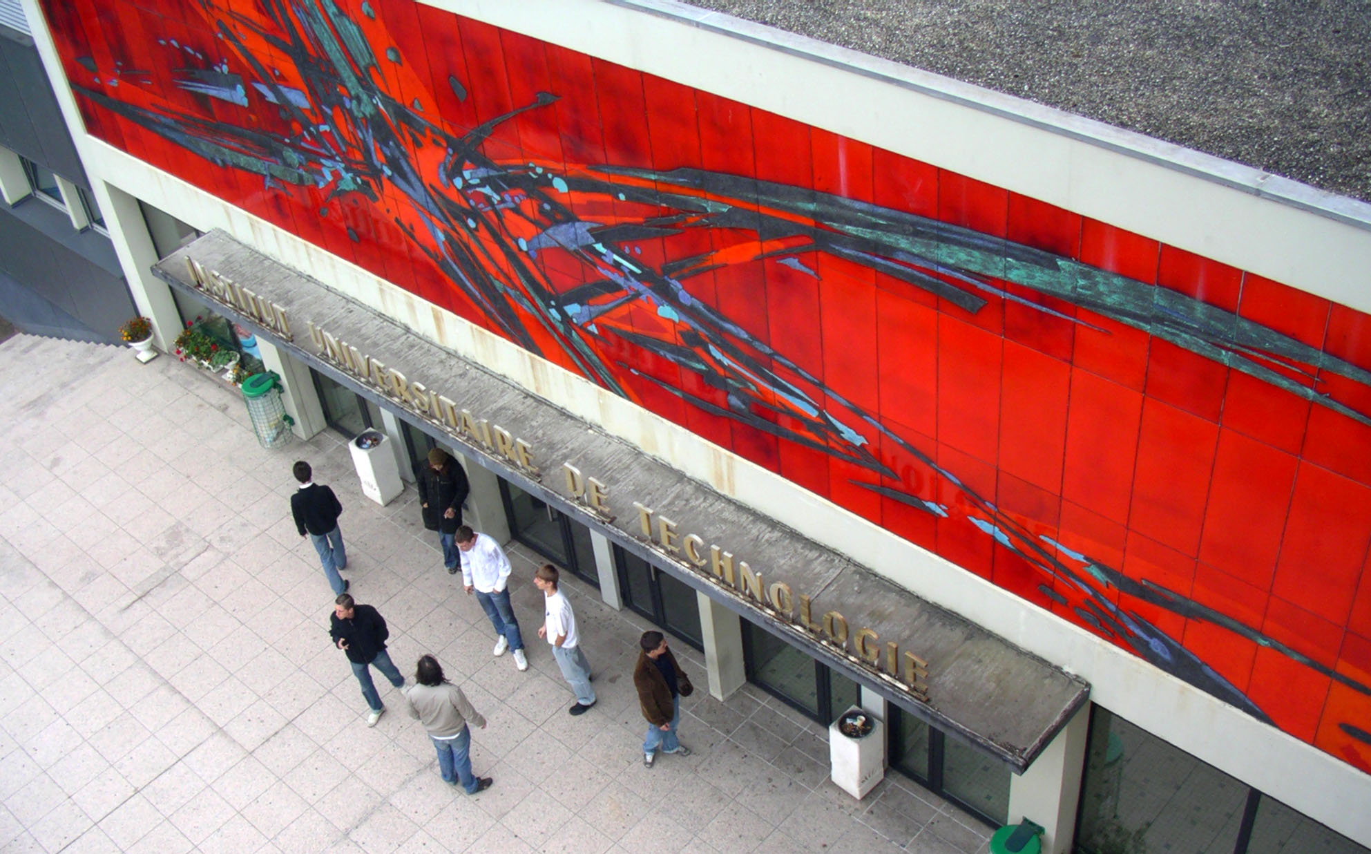
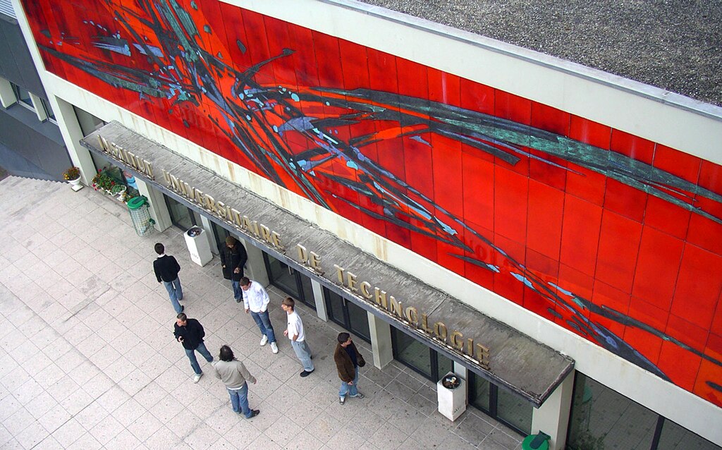
Français : Entrée de l'IUT de Mulhouse, 61 rue Albert Camus, Mulhouse |
| Date | |
| Source | Eric Hueber |
| Author | Eric Hueber |
| Camera location |
| View this and other nearby images on: OpenStreetMap |
|
|---|
Licensing
| I, the copyright holder of this work, release this work into the
public domain. This applies worldwide. In some countries this may not be legally possible; if so: I grant anyone the right to use this work for any purpose, without any conditions, unless such conditions are required by law. |
File history
Click on a date/time to view the file as it appeared at that time.
| Date/Time | Thumbnail | Dimensions | User | Comment | |
|---|---|---|---|---|---|
| current | 12:33, 2 October 2009 |
| 1,985 × 1,236 (426 KB) | Huebereric | {{Information |Description={{fr|1=Entrée de l'IUT de Mulhouse}} |Source=Eric Hueber |Author=Eric Hueber |Date=30/09/2008 |Permission= |other_versions= }} 61 rue Albert Camus, Mulhouse [[Category:Université de Haute-Alsace | Alsace | Mulhouse | Colmar | |
File usage
The following pages on the English Wikipedia use this file (pages on other projects are not listed):
Global file usage
The following other wikis use this file:
- Usage on fr.wikipedia.org
- Usage on www.wikidata.org