Photos • Location


Size of this preview:
800 × 600 pixels. Other resolutions:
320 × 240 pixels |
640 × 480 pixels |
1,024 × 768 pixels |
1,280 × 960 pixels |
2,272 × 1,704 pixels.
Original file (2,272 × 1,704 pixels, file size: 1.65 MB, MIME type: image/jpeg)
| This is a file from the
Wikimedia Commons. Information from its
description page there is shown below. Commons is a freely licensed media file repository. You can help. |
Summary
| Description |
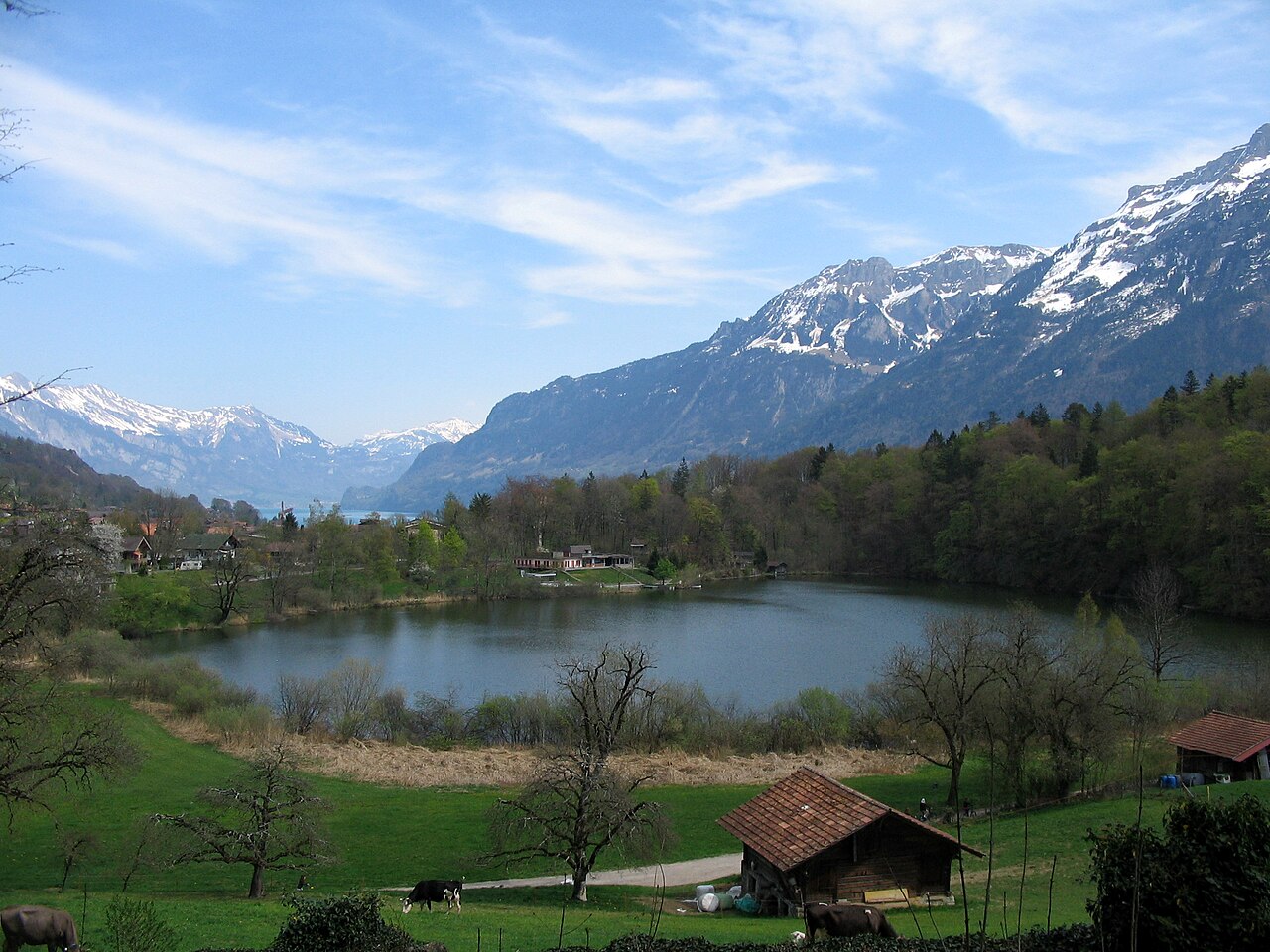
English: The Burgseeli (=little castle lake) between the villages Ringgenberg and Goldswil in the Bernese Oberland (Canton of Berne / Switzerland).
Deutsch: Das Burgseeli an der Gemeindegrenze der Ortschaften Ringgenberg und Goldswil im Berner Oberland (Kanton Bern / Schweiz). |
| Date | |
| Source | Foto, welches ich selbst gemacht habe / picture made myself |
| Author | Rectilinium |
| Camera location |
| View this and other nearby images on: OpenStreetMap |
|
|---|
Licensing
| I, the copyright holder of this work, release this work into the
public domain. This applies worldwide. In some countries this may not be legally possible; if so: I grant anyone the right to use this work for any purpose, without any conditions, unless such conditions are required by law. |
File history
Click on a date/time to view the file as it appeared at that time.
| Date/Time | Thumbnail | Dimensions | User | Comment | |
|---|---|---|---|---|---|
| current | 01:34, 16 April 2009 |
| 2,272 × 1,704 (1.65 MB) | Rectilinium | {{Information |Description={{en|1=The Burgseeli (=little castle lake) between the villages Ringgenberg and Goldswil in the Bernese Oberland (Canton of Berne / Switzerland).}} {{de|1=Das Burgseeli an der Gemeindegrenze der Ortschaften Ringgenberg und Golds |
File usage
The following pages on the English Wikipedia use this file (pages on other projects are not listed):
Global file usage
The following other wikis use this file:
- Usage on als.wikipedia.org
- Usage on arz.wikipedia.org
- Usage on ceb.wikipedia.org
- Usage on de.wikipedia.org
- Usage on eo.wikipedia.org
- Usage on ko.wikipedia.org
- Usage on nn.wikipedia.org
- Usage on pt.wikipedia.org
- Usage on sv.wikipedia.org
- Usage on www.wikidata.org