
Size of this preview:
800 × 597 pixels. Other resolutions:
320 × 239 pixels |
640 × 478 pixels |
1,024 × 764 pixels |
1,280 × 955 pixels |
2,581 × 1,926 pixels.
Original file (2,581 × 1,926 pixels, file size: 559 KB, MIME type: image/jpeg)
| This is a file from the
Wikimedia Commons. Information from its
description page there is shown below. Commons is a freely licensed media file repository. You can help. |
Summary
| Description |
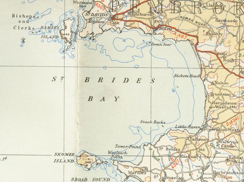
English: Old OS map from 1946 of Bride's_bay 1/4 inch to the mile |
| Date | 15 January 2007 (original upload date) |
| Source | Transferred from en.wikipedia to Commons. |
| Author | The original uploader was Geni at English Wikipedia. |
Licensing
This work is an
Ordnance Survey map over 50 years old, which is covered by
Crown Copyright which in this case expires 50 years after publication. Ordnance Survey does however ask that they be credited and that the date of publication be given.
Any ancillary rights gained through the creation of the electronic version are granted as freely usable under any circumstances.
|
This work
created by the United Kingdom Government is in the
public domain.
This is because it is one of the following:
HMSO has declared that the expiry of Crown Copyrights applies worldwide (ref:
HMSO Email Reply)
|
 |
Original upload log
The original description page was
here. All following user names refer to en.wikipedia.
- 2007-01-15 18:42 Geni 2581×1926×8 (572027 bytes) Old OS map from 1946 of Bride's_bay 1/4 inch to the mile {{oldOS}}
File history
Click on a date/time to view the file as it appeared at that time.
| Date/Time | Thumbnail | Dimensions | User | Comment | |
|---|---|---|---|---|---|
| current | 18:09, 19 November 2007 |
| 2,581 × 1,926 (559 KB) | Jordi Roqué | {{Information |Description={{en|Old OS map from 1946 of Bride's_bay 1/4 inch to the mile en:Category:Images of Pembrokeshire}} |Source=Originally from [http://en.wikipedia.org en.wikipedia]; description page is/was [http://en.wikipedia.org/w/index. |
File usage
The following pages on the English Wikipedia use this file (pages on other projects are not listed):
Global file usage
The following other wikis use this file:
- Usage on ca.wikipedia.org
- Usage on eu.wikipedia.org
- Usage on nn.wikipedia.org
- Usage on www.wikidata.org