Photos • Location


Size of this preview:
787 × 599 pixels. Other resolutions:
315 × 240 pixels |
630 × 480 pixels |
1,009 × 768 pixels |
1,280 × 975 pixels |
2,680 × 2,041 pixels.
Original file (2,680 × 2,041 pixels, file size: 1.03 MB, MIME type: image/jpeg)
| This is a file from the
Wikimedia Commons. Information from its
description page there is shown below. Commons is a freely licensed media file repository. You can help. |
Summary
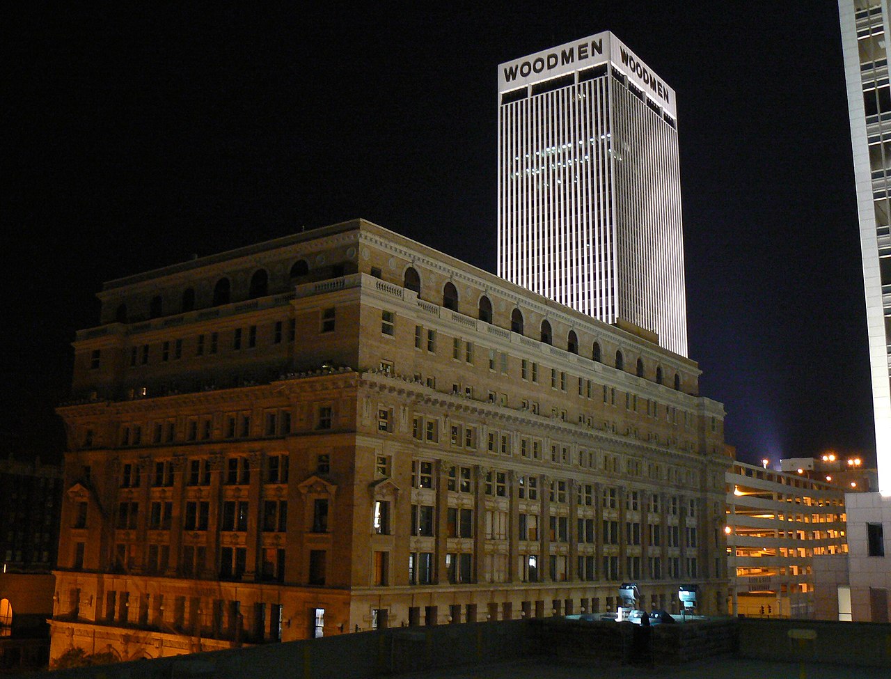
| Description | The Brandeis Building and Woodmen Tower in Omaha, Nebraska |
| Date | 7.5.2007 |
| Source | Own work |
| Author | MONGO |
| Camera location | | View this and other nearby images on: OpenStreetMap |
|
|---|
Licensing
| I, the copyright holder of this work, release this work into the
public domain. This applies worldwide. In some countries this may not be legally possible; if so: I grant anyone the right to use this work for any purpose, without any conditions, unless such conditions are required by law. |
File history
Click on a date/time to view the file as it appeared at that time.
| Date/Time | Thumbnail | Dimensions | User | Comment | |
|---|---|---|---|---|---|
| current | 05:37, 8 October 2007 |
| 2,680 × 2,041 (1.03 MB) | MONGO | {{Information |Description=The Brandeis Building and Woodmen Tower in Omaha, Nebraska |Source=self-made |Date=7.5.2007 |Author= MONGO }} {{Location dec|41.2586|-95.9374|type:forest_region:US_scale:5000_heading:SW}} * '''Location Datum:''' [ |
File usage
The following pages on the English Wikipedia use this file (pages on other projects are not listed):
Global file usage
The following other wikis use this file:
- Usage on es.wikipedia.org
- Usage on www.wikidata.org