Photos • Location

Dardoq
Dardog' Dardak | |
|---|---|
Village | |
 Dardoq Location in Uzbekistan | |
| Coordinates: 40°48′56″N 72°49′52″E / 40.81556°N 72.83111°E | |
| Country | |
| Region | Andijan Region |
| District | Qoʻrgʻontepa District |
| Population (2015) | |
| • Total | 26,055 |
| Time zone | UTC+5 ( UZT) |
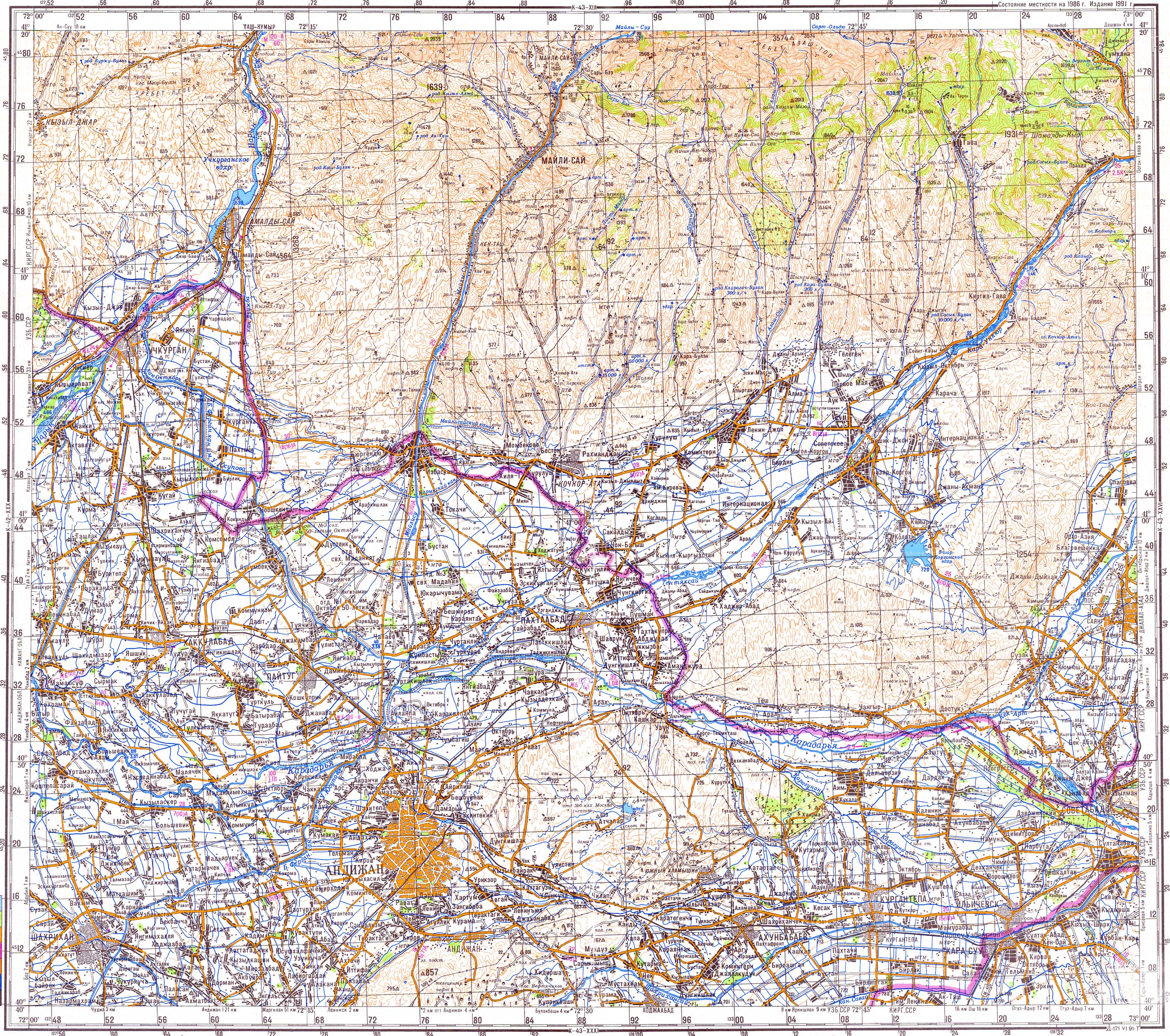
Dardoq ( Uzbek: Dardoq / Дардоқ [1] or Dardok / Дардок, [2] Russian: Дардак, romanized: Dardak) is a village and a rural community in Qoʻrgʻontepa District, in Andijan Region in eastern Uzbekistan. [2] It is situated near the confluence of the rivers Kögart and Kara Darya, 6 km south of Dostuk (Kyrgyzstan), 12 km west of Xonobod and 32 km north of Osh (Kyrgyzstan). [3] In 2015 it had a population of 26,055.
References
-
^
"Қўрғонтепа тумани" [Qoʻrgʻontepa District] (PDF).
National Encyclopedia of Uzbekistan (in Uzbek). Tashkent. 2000–2005. p. 442.
{{
cite encyclopedia}}
: CS1 maint: location missing publisher ( link) - ^ a b "Classification system of territorial units of the Republic of Uzbekistan" (in Uzbek and Russian). The State Committee of the Republic of Uzbekistan on statistics. July 2020.
- ^ Soviet military map K-43-25 (1:200,000)
Capital:
Andijan | ||
| Districts |  | |
| Cities | ||
| Towns | ||
| Villages | ||
|
| This Uzbekistan location article is a stub. You can help Wikipedia by expanding it. |