Photos • Location

| Comandante Fontoura River | |
|---|---|
| Native name | Rio Comandante Fontoura ( Portuguese) |
| Location | |
| Country | Brazil |
| State | Mato Grosso, Pará |
| Physical characteristics | |
| Source | |
| • location | Serra do Roncador |
| Mouth | Xingu River |
• coordinates | 9°40′S 52°16′W / 9.667°S 52.267°W |
| Length | 450 km (280 mi) [1] |
| Basin features | |
| Tributaries | |
| • right | Ribeirão Preto River |
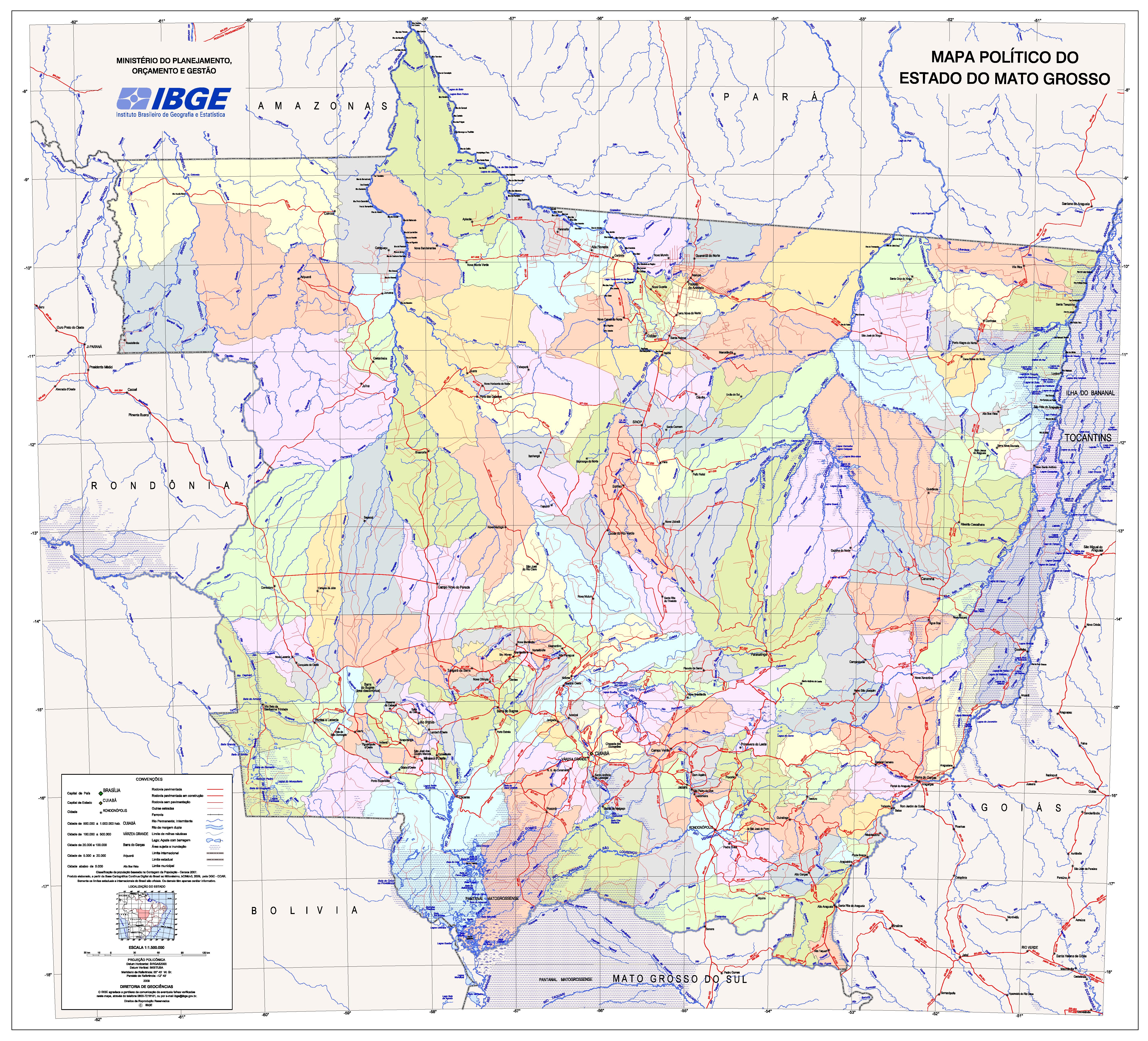
The Comandante Fontoura ( Portuguese: Rio Comandante Fontoura) is a river in the state of Mato Grosso, Brazil, a right tributary of the Xingu River. It starts in the Serra do Roncador, in the Maraiwatsede Indigenous Territory. It flows northwards and meets the Xingu River at the border of Mato Grosso and Pará. [2]
The river is named after Otávio Gusmão de Fontoura who explored its basin in 1913. [3]
References
- ^ Ziesler, R.; Ardizzone, G.D. (1979). "Amazon River System". The Inland waters of Latin America. Food and Agriculture Organization of the United Nations. ISBN 92-5-000780-9. Archived from the original on 21 October 2013.
- ^ Mapa Político do Estado do Mato Grosso, Diretoria do Geociências, 2009.
- ^ COMANDANTE FONTOURA (Rio), Portal Mato Grosso