Channarayapatna | |
|---|---|
Town | |
 | |
 Channarayapatna Location in Karnataka, India | |
| Coordinates: 12°54′07″N 76°21′50″E / 12.902°N 76.364°E | |
| Country | |
| State | Karnataka |
| District | Hassan |
| Government | |
| • Body | Town Municipal Council |
| Area | |
| • Town | 10.50 km2 (4.05 sq mi) |
| • Rural | 1,063.86 km2 (410.76 sq mi) |
| Elevation | 827 m (2,713 ft) |
| Population (2011)
[1] | |
| • Town | 40,417 |
| • Rank | 3rd in Hassan district |
| • Density | 3,800/km2 (10,000/sq mi) |
| • Rural | 241,006 |
| Languages | |
| • Official | Kannada |
| Time zone | UTC+5:30 ( Indian Standard Time) |
| Postal Index Number (PIN) | 573116, 573225 |
| Telephone code | 08176 |
| Vehicle registration | KA-13 |
| Website |
www |
Channarayapatna is a town and Taluk headquarters in Hassan district of Karnataka, India. It lies on the Bangalore-Mangalore National Highway-75 in Karnataka, India. Jain pilgrimage Shravanabelagola is a famous site in the taluk. Channarayapatna has major railway connection from Bangalore to Mangalore, Karwar, and Mysore.
Channarayapatna is located at 12°54′N 76°23′E / 12.90°N 76.39°E. [2] It has an average elevation of 845 metres (2716 ft).
Located within Channarayapatna is Bagur Navile Tunnel, the longest water tunnel in India.
As of 2011 India census, Channarayapatna has a population of 279,798. Males constitute 51% of the population and females 49%. Channarayapatna has an average literacy rate of 73%, higher than the national average of 59.5%; with male literacy of 78% and female literacy of 68%. 11% of the population is under 6 years of age. [3]
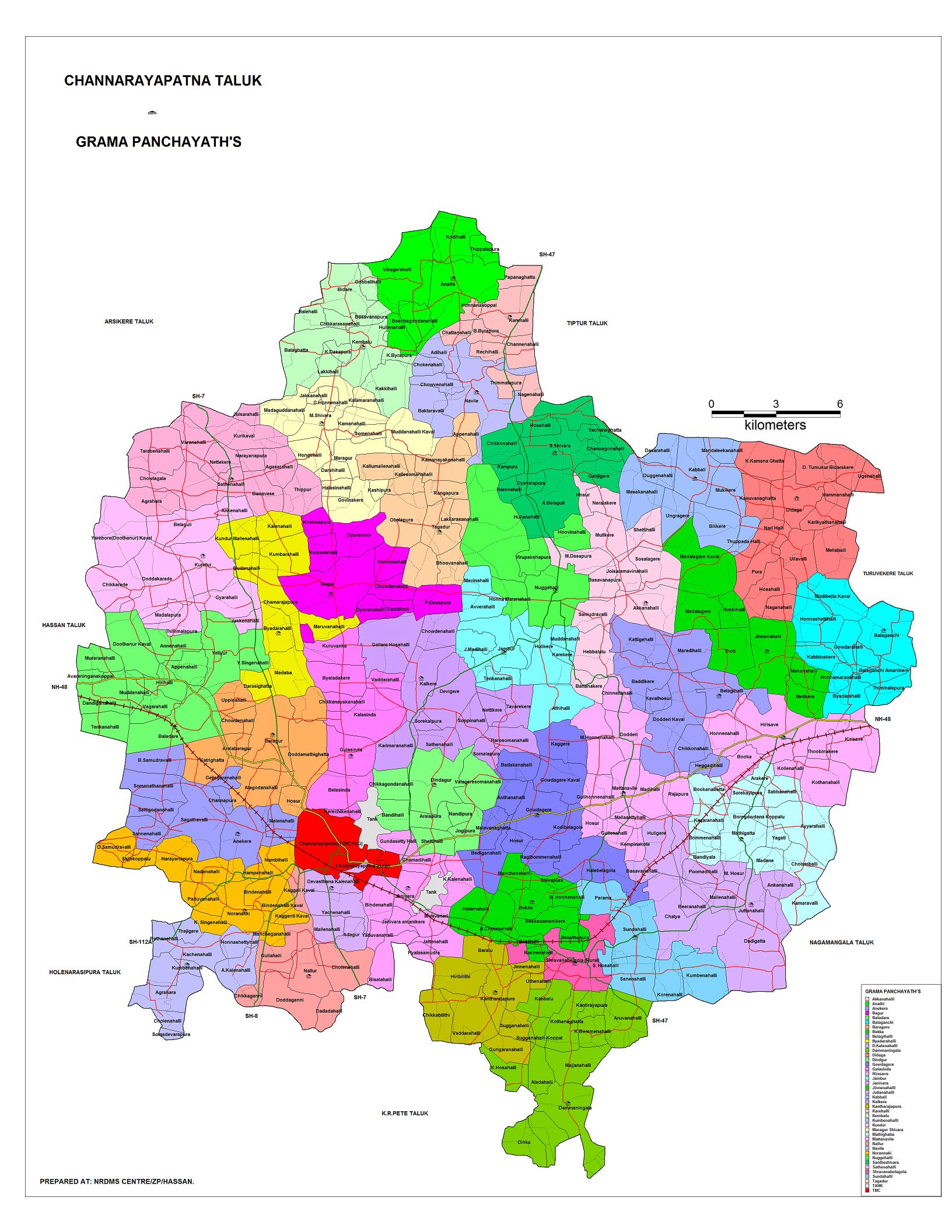
Channarayapatna Taluk is one of the eight taluks in Hassan district of Karnataka state. There are 40 panchayat villages in Channarayapatna Taluk, [4] [5] for 407 villages. [6]
Agriculture is the major economic activity. Sugarcane & Coconut are the leading commercial crops, while food crops include Ragi, Potato, Sunflower, and Paddy. [7] The taluk also has mineral reserves, such as chromite. [7]
-
 Map of Channarayapatna Taluk as per 2001 Census
 -
 Map of Channarayapatna Taluk as per 2001 Census
 -
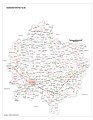
 Positioning of Hassan district in Karnataka
 -
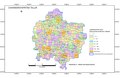
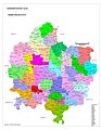
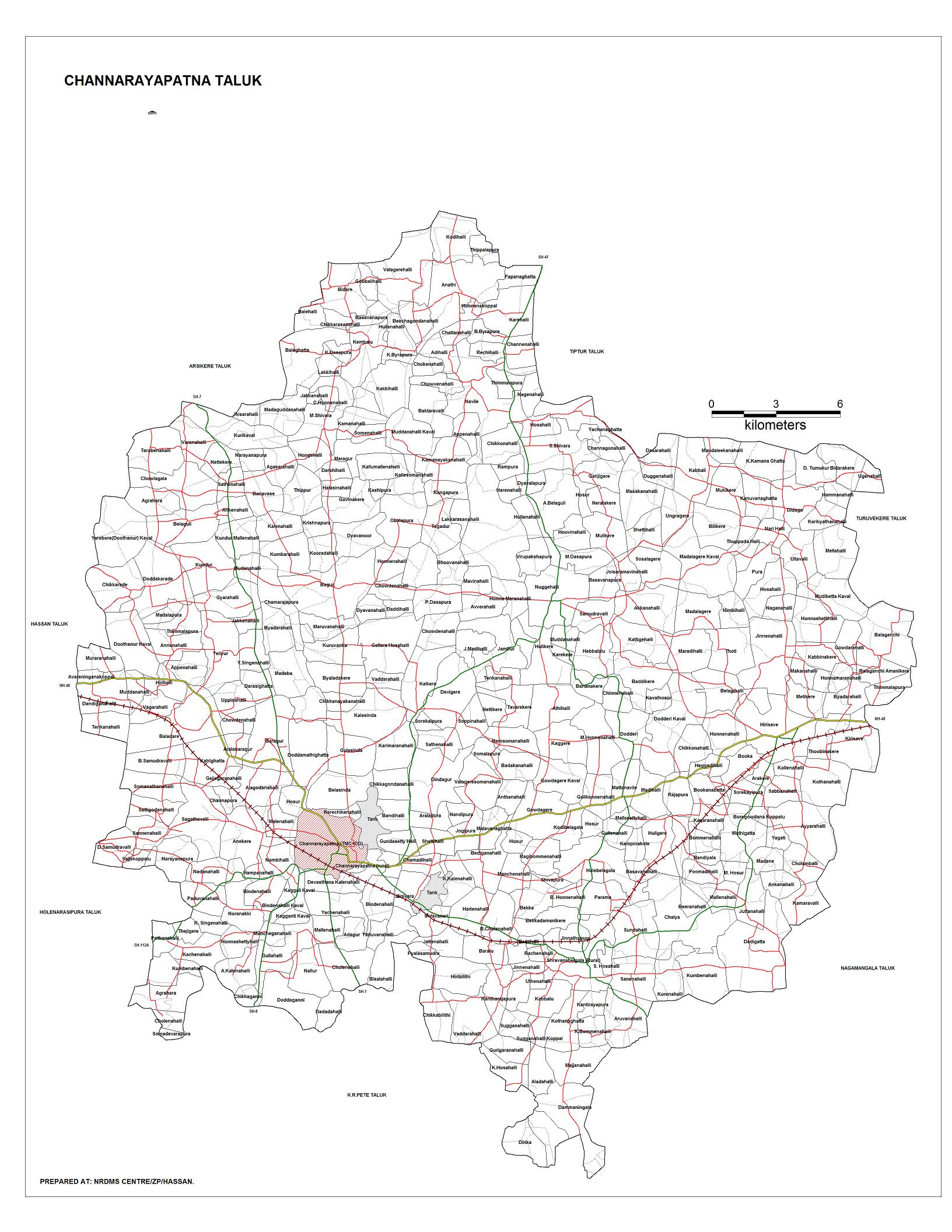
 Village Map of Channarayapatna Taluk
 -
 Hobli Map of Hassan district
 -
 Hobli & Village Map of Shravanabelagola Assembly constituency, Channarayapatna Taluk
 -
 Village Map of Shravanabelagola Assembly constituency, Channarayapatna Taluk
 -
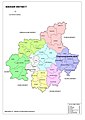
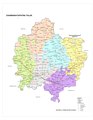
 Grama panchayat and Village Map of Channarayapatna Taluk
 -
 Tourism Map of Channarayapatna Taluk
 -
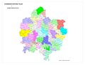
 Channarayapatna Taluk - Hobli and Village Map
 -
 Channarayapatna Taluk - Grama Panchayat and Village Map
 -
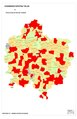
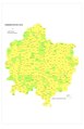 Channarayapatna Taluk Map about Fluoride content in DWS


- H. C. Srikantaiah, Former Minister and Member of Parliament
- S. L. Bhyrappa, novelist and professor
- Nanditha, playback singer
- C. N. Manjunath, cardiologist
- C N Balakrishna, MLA Sravanabelogaola Constituency
- Nagaraj Kote, Kannada Artist
- ^ "Census Data Handbook Hassan 2011" (PDF). Retrieved 28 July 2023.
- ^ "Maps, Weather, and Airports for Channarayapatna, India". fallingrain.com. Retrieved 6 October 2017.
- ^ "Census of India 2001: Data from the 2001 Census, including cities, villages and towns (Provisional)". Census Commission of India. Archived from the original on 16 June 2004. Retrieved 1 November 2008.
- ^ "Reports of National Panchayat Directory: List of Census Villages mapped for: Village Panchayat Names of Channarayapatna, Hassan, Karnataka". Archived from the original on 10 February 2013.
- ^ "Map: Gram panchayats in Channarayapatna Taluk".
- ^ "Channarayapatna Taluk: Hobli-wise, VA Circle-wise Villages" (PDF).
- ^ a b "Channarayapatna Taluk Industrial Development Plan". Karnataka Department of Industries and Commerce. Archived from the original (DOC) on 28 October 2014. Retrieved 20 April 2013.
- NRDMS Centre/ZP/Hassan. "Map: Channarayapatna Taluk". Hassan district.
|
| This article related to a location in Karnataka is a stub. You can help Wikipedia by expanding it. |