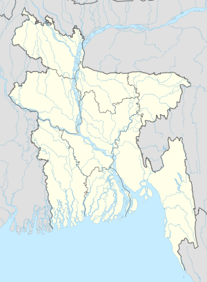
Photos • Location
Baithakata
বৈঠাকাটা Mugarjhor | |
|---|---|
Village | |
| Coordinates: 22°47′12.2″N 89°58′52.9″E / 22.786722°N 89.981361°E | |
| Country | |
| Division | Barisal |
| District | Pirojpur |
| Upazila | Nazirpur |
| Union Council | Malikhali |
| Time zone | UTC+6 ( Bangladesh Time) |
| Area code | +880-461 |
Baithakata ( Bengali: বৈঠাকাটা), also known as Mugarjhor,[ citation needed] is a village in Pirojpur District in the Barisal Division of southwestern Bangladesh. [1]
Geography
The village is part of the union council of Malikhali and lies near the eastern shore of Kaliganga River. [2] It is 10 km north of Nazirpur, 80 km west of Barisal and 100 km east of Khulna.
Education
In the village there are the Mugarjhor High School and the Baithakata College.
References
External links
