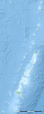
Photos • Location
ʻEua Foʻou | |
|---|---|
District | |
| Coordinates: 21°22′30″S 174°57′14.4″W / 21.37500°S 174.954000°W | |
| Country | |
| Division | ʻEua |
| Population (2021) | |
| • Total | 2,132 |
| Time zone | UTC+13 (–) |
| • Summer ( DST) | UTC+14 (–) |
ʻEua Foʻou is a district of ʻEua division, Tonga. [1] The population is 2,132. [2]
References
- ^ "2015 TONGA NATIONALAGRICULTURAL CENSUSMAIN REPORT" (PDF). Pacific Agriculture Policy Project. Retrieved 4 February 2019.
- ^ "PRELIMINARY RESULT TONGA POPULATION CENSUS 2021" (PDF). Tonga Statistics Department. 24 December 2021. p. 1. Retrieved 31 December 2021.
21°22′29″S 174°58′09″W / 21.3748523°S 174.9693022°W
